
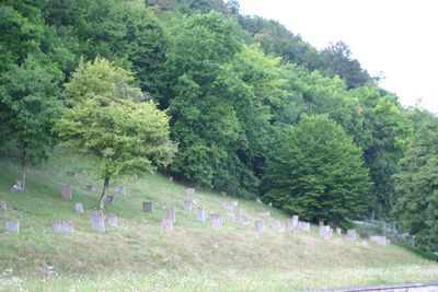
Jewish cemetery, Pappenheim, building in Pappenheim, Middle Franconia, Germany
Location: Pappenheim
Address: Nähe Bgm.-Rukwid-Straße
GPS coordinates: 48.93731,10.97233
Latest update: March 18, 2025 22:50
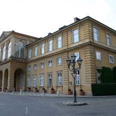
Neues Schloss
288 m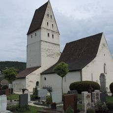
Galluskirche
226 m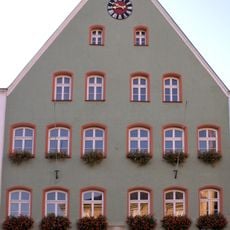
Rathaus
341 m
Büchelehaus
299 m
Amtsgericht Pappenheim
358 m
Brauereigasthof (Pappenheim)
227 m
Rotes Brauhaus
308 m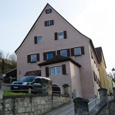
Ehemaliges Gräfenthaler Amtshaus
356 m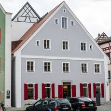
Wohn- und Geschäftshaus in Jura-Bauweise
332 m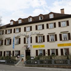
Gasthof, Hotel Krone
317 m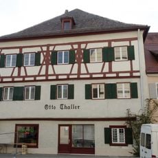
Ehemaliges Stadtvogteihaus
360 m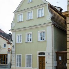
Bürgerhaus
286 m
Ehemalige Stadtmühle
276 m
Wohnhaus des Hofschreiners Johann Michael Neher
304 m
Bergpfarre
341 m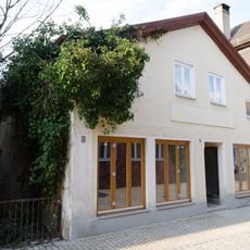
Wohn- und Geschäftshaus
281 m
Ehemaliges Färberhaus
283 m
Wohnhaus des Baumeisters Johann Georg Steingruber
323 m
Wohnhaus
328 m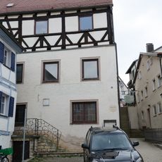
Brauereigasthaus
356 m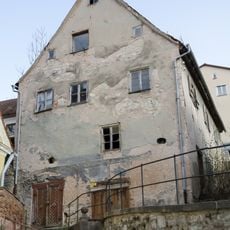
Wohnhaus
326 m
Giebelhaus, heute Wohn- und Geschäftsbau
345 m
Ehemaliges Gasthaus
365 m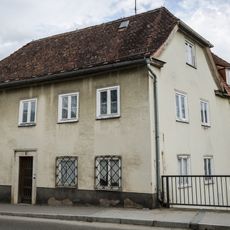
An der Altmühlbrücke 2
260 m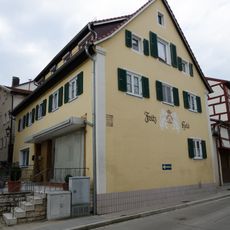
Wohnhaus
346 m
Beckstraße 5
254 m
Beckstraße 9
311 m
Ehemaliges Wohnstallhaus
239 mVisited this place? Tap the stars to rate it and share your experience / photos with the community! Try now! You can cancel it anytime.
Discover hidden gems everywhere you go!
From secret cafés to breathtaking viewpoints, skip the crowded tourist spots and find places that match your style. Our app makes it easy with voice search, smart filtering, route optimization, and insider tips from travelers worldwide. Download now for the complete mobile experience.

A unique approach to discovering new places❞
— Le Figaro
All the places worth exploring❞
— France Info
A tailor-made excursion in just a few clicks❞
— 20 Minutes