
Oehna, human settlement in Germany
Location: Niedergörsdorf
Elevation above the sea: 89 m
GPS coordinates: 51.92970,13.03720
Latest update: April 8, 2025 02:21
Fliegerhorst Jüterbog-Damm
5.9 km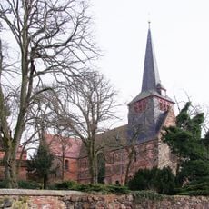
Liebfrauenkirche
7.2 km
Glücksburger Heide
6.6 km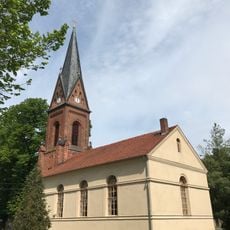
Protestant church Mügeln (Jessen)
8.7 km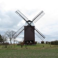
Dennewitzer Hochzeitsmühle
4.5 km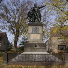
Bülowdenkmal Dennewitz
4.8 km
Damm (Jüterbog)
6.6 km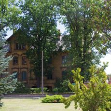
Gutshaus Zellendorf
4.6 km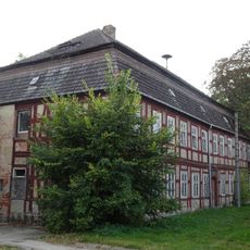
Gutshaus Hohenahlsdorf
5.7 km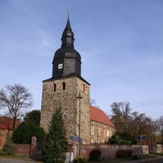
Dorfkirche Dennewitz
4.8 km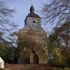
Village church Rohrbeck (Niedergörsdorf)
3.8 km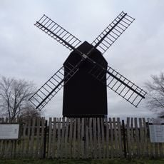
Gölsdorfer Windmühle
5.1 km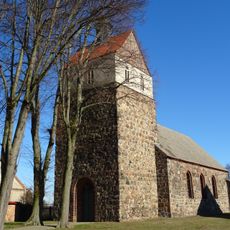
Dorfkirche Körbitz
6.6 km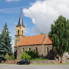
Dorfkirche Langenlipsdorf
3.9 km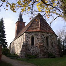
Dorfkirche Niedergörsdorf
6.6 km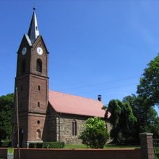
Protestant church Oehna
215 m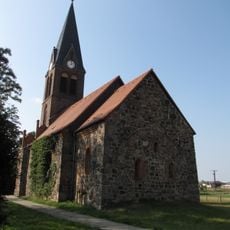
Dorfkirche Borgisdorf
6.9 km
Dorfkirche Hohenahlsdorf
5.7 km
Dorfkirche Welsickendorf
7.6 km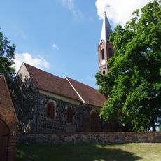
Dorfkirche Bochow
3.9 km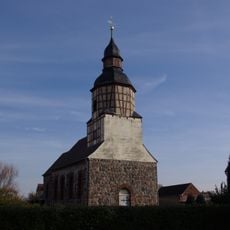
Dorfkirche Gölsdorf
4.9 km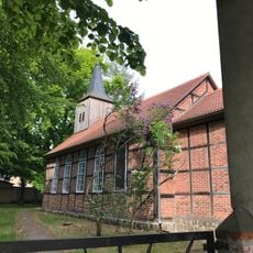
Dorfkirche Zellendorf
4.6 km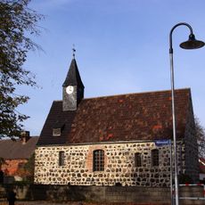
Dorfkirche Wölmsdorf
6.7 km
Freibad Jüterbog
6.9 km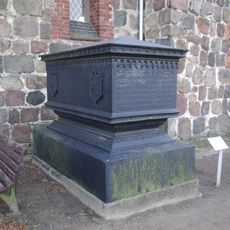
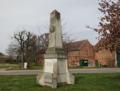
Kenotaph Alberthal
4.9 km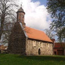
Protestant church Morxdorf
7.2 km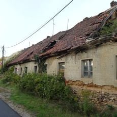
Gutsarbeiterhaus Hohenahlsdorf
5.9 km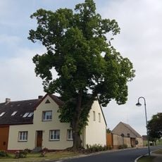
Naturdenkmal Linde (Baum) Ortsmitte, vor Haus Nr. 8; Flur 4, Flurstück 43 in Niedergörsdorf
4.8 kmReviews
Visited this place? Tap the stars to rate it and share your experience / photos with the community! Try now! You can cancel it anytime.
Discover hidden gems everywhere you go!
From secret cafés to breathtaking viewpoints, skip the crowded tourist spots and find places that match your style. Our app makes it easy with voice search, smart filtering, route optimization, and insider tips from travelers worldwide. Download now for the complete mobile experience.

A unique approach to discovering new places❞
— Le Figaro
All the places worth exploring❞
— France Info
A tailor-made excursion in just a few clicks❞
— 20 Minutes