·

Enable Location

We need your location to show you interesting places around you

Discover nearby places

Find interesting locations and hidden gems around you

Precise directions

Get accurate directions and distances to places

Your location is never shared with other users. It's only used when you tap the location button.

Hohe Dubra

Log in to your account

Start exploring — it's free

Trusted by 62,645 travelers worldwide

Continue with Google
Continue with Apple
or

We will send you a code to connect

By continuing, you accept our Terms and Conditions and our Privacy Policy

Check your inbox

We've sent a pincode in your inbox. Please enter the code below.

Hohe Dubra

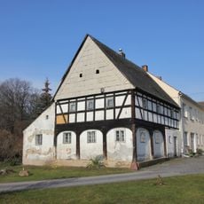
Hohe Dubra, Summit in Görlitz, Germany

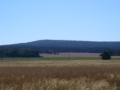
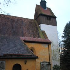
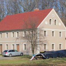
Hohe Dubra is a summit in Görlitz that rises approximately 307 meters above sea level and shapes the landscape of the northeastern region. The hill features distinct geological formations and can be reached via several walking trails from different starting points.

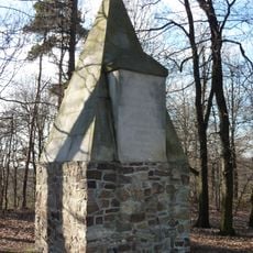
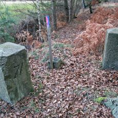
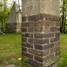
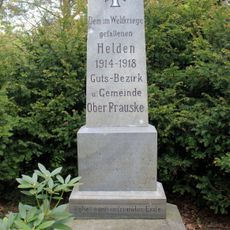
The summit appeared on regional maps during the early settlement period of Görlitz, where it served as a geographical landmark for local communities. Its consistent presence in historical records demonstrates its enduring importance as a recognized reference point in the area.

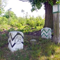
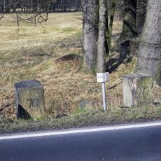
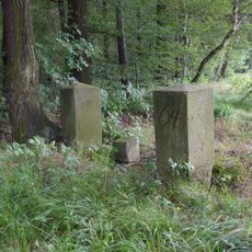
The name reflects both Slavic and German traditions of this border region, where local communities have long used the site as a reference point in everyday life. Different language versions of the name show the cultural diversity that remains visible in how people speak about and relate to the landscape today.

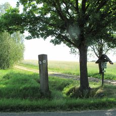
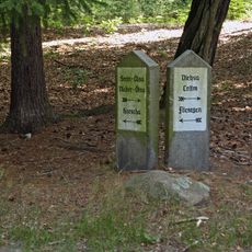
Multiple walking paths approach the summit from different directions, offering moderate hiking routes accessible throughout the year. The trails are flexible in duration and do not require special gear or previous hiking experience.

The summit straddles cultural boundaries and carries different names in multiple languages, reflecting its role as a symbol of the region's multicultural history. This linguistic diversity gives the place an unexpected character that feels tied to the meeting point of different worlds.

The community of curious travelers

AroundUs brings together thousands of curated places, local tips, and hidden gems, enriched daily by 60,000 contributors worldwide.

Start exploring
Location
Elevation above the sea
307 m
GPS coordinates
51.26362,14.68675
Latest update
December 14, 2025 20:04
Around this place
Monumentberg
Germany

Monumentberg

1.4 km
Schloss Gebelzig
Germany

Schloss Gebelzig

4.7 km
Schloss Kollm
Germany

Schloss Kollm

2.6 km
St. Trinitatiskirche
Germany

St. Trinitatiskirche

2.8 km
Kirche Gebelzig
Germany

Kirche Gebelzig

4.5 km
Kirche Kollm
Germany

Kirche Kollm

3.1 km
Kirche Groß Radisch
Germany

Kirche Groß Radisch

1.2 km
Kirche Förstgen
Germany

Kirche Förstgen

4.1 km
Monumentberg Observation Tower
Germany

Monumentberg Observation Tower

1.4 km
Nostitz-Monument
Germany

Nostitz-Monument

1.4 km
Sächsisch-Preußischer Grenzstein: Pilarpaar Nr. 68
Germany

Sächsisch-Preußischer Grenzstein: Pilarpaar Nr. 68

4.2 km
CVJM Freizeit- und Bildungszentrum Kollm
Germany

CVJM Freizeit- und Bildungszentrum Kollm

3 km
Schule Zum Wacheberg 7
Germany

Schule Zum Wacheberg 7

4.5 km
Gutsmühle Nieder-Gebelzig
Germany

Gutsmühle Nieder-Gebelzig

5 km
Mühle Sproitz
Germany

Mühle Sproitz

5 km
Georgskirche und Kirchhof Gebelzig; Kirche mit Kirchhof, Einfriedung, sechs Grabsteine an der Kirchenwand und Kriegerdenkmal für die Gefallenen des Ersten Weltkrieges
Germany

Georgskirche und Kirchhof Gebelzig; Kirche mit Kirchhof, Einfriedung, sechs Grabsteine an der Kirchenwand und Kriegerdenkmal für die Gefallenen des Ersten Weltkrieges

4.5 km
Wohnhaus (Fachwerk, Umgebinde) eines Dreiseithofes Dorfstraße 5
Germany

Wohnhaus (Fachwerk, Umgebinde) eines Dreiseithofes Dorfstraße 5

4.4 km
Sächsisch-Preußischer Grenzstein: Pilarpaar Nr. 71
Germany

Sächsisch-Preußischer Grenzstein: Pilarpaar Nr. 71

4.7 km
Station 2 Nostitzhöhe
Germany

Station 2 Nostitzhöhe

1.4 km
Diehsa, Wegestein Zum Lurchenberg
Germany

Diehsa, Wegestein Zum Lurchenberg

4.6 km
Sächsisch-Preußischer Grenzstein: Pilarpaar Nr. 70
Germany

Sächsisch-Preußischer Grenzstein: Pilarpaar Nr. 70

4.7 km
Kriegerdenkmal für die Gefallenen des Ersten Weltkrieges Mittelstraße
Germany

Kriegerdenkmal für die Gefallenen des Ersten Weltkrieges Mittelstraße

2.2 km
Wohnstallhaus Zum Wacheberg 6
Germany

Wohnstallhaus Zum Wacheberg 6

4.3 km
Sächsisch-Preußischer Grenzstein: Pilarpaar Nr. 64
Germany

Sächsisch-Preußischer Grenzstein: Pilarpaar Nr. 64

5 km
Ländliches Wohnhaus An der Loose 20
Germany

Ländliches Wohnhaus An der Loose 20

4 km
Rittergut Obergebelzig (Sachgesamtheit) Am Schloß 2a; 4; 6; 7; 12 (Unterer Siedlungsweg 1)
Germany

Rittergut Obergebelzig (Sachgesamtheit) Am Schloß 2a; 4; 6; 7; 12 (Unterer Siedlungsweg 1)

4.7 km
Pfarrhaus; Pfarrhaus Dorfstraße 1
Germany

Pfarrhaus; Pfarrhaus Dorfstraße 1

4.6 km
Zwei Wegesteine (350 m südwestlich des Ortes)
Germany

Zwei Wegesteine (350 m südwestlich des Ortes)

4.9 km
Show the full map
« Hohe Dubra - Summit in Görlitz, Germany » is provided by Around Us (aroundus.com). Images and texts are derived from Wikimedia project under a Creative Commons license. You are allowed to copy, distribute, and modify copies of this page, under the conditions set by the license, as long as this note is clearly visible.

Discover hidden gems everywhere you go!

From secret cafés to breathtaking viewpoints, skip the crowded tourist spots and find places that match your style. Our app makes it easy with voice search, smart filtering, route optimization, and insider tips from travelers worldwide. Download now for the complete mobile experience.

Around Us App Screenshot

A unique approach to discovering new places

Le Figaro

All the places worth exploring

France Info

A tailor-made excursion in just a few clicks

20 Minutes

Around Us
Travel Guide & Maps
Download

Send to your phone

QR Code
1

Open the camera app on your mobile.

2

Point at the QR code with your camera. A notification will appear.

3

Tap the notification to open the link.