
Ennert, mountain in Germany
Location: Beuel
Elevation above the sea: 152 m
GPS coordinates: 50.73168,7.15877
Latest update: March 12, 2025 07:32
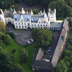
Kommende Ramersdorf
687 m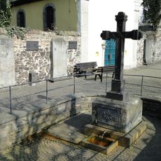
Adelheidis-Brunnen
1.4 km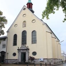
St. Adelheid (Pützchen)
1.4 km
Weinbergweg 34 (Bonn)
1.4 km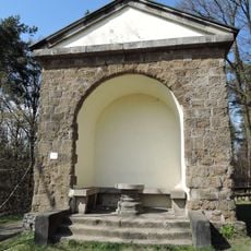
Foveaux-Häuschen
127 m
St. Gallus (Küdinghoven)
653 m
Holtorfer Hardt
1 km
St. Adelheidis (Pützchen)
1.4 km
Forsthaus Hardt
800 m
Siebengebirge Teilgebiet Ennert
1 km
Friedensdenkmal Küdinghoven
940 m
Die 5 - die Aufhebung der Schwere
1.5 km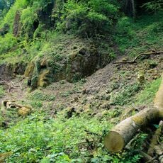
Landschaftsschutzgebiet Teilgebiet Finkenberg
757 m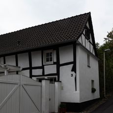
Kommendeweg 3
839 m
Küdinghovener Straße 18
1.3 km
Heinrich-Konen-Straße 1
1.4 km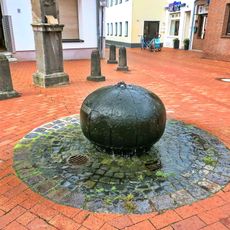
Am Brünnchen (Küdinghoven)
810 m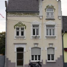
Marktstraße 29
1.5 km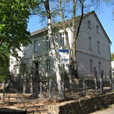
Kirchstraße 54
675 m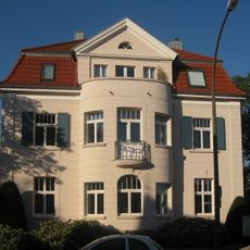
Königswinterer Straße 300
985 m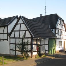
Königswinterer Straße 313
920 m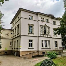
Pützchens Chaussee 137
1.5 km
Königswinterer Straße 204
1.5 km
Lindenstraße 35
795 m
Lindenstraße 50
790 m
Am Conzberg 2
789 m
Lindenstraße 52
786 m
Dornenkreuzstraße 26
895 mReviews
Visited this place? Tap the stars to rate it and share your experience / photos with the community! Try now! You can cancel it anytime.
Discover hidden gems everywhere you go!
From secret cafés to breathtaking viewpoints, skip the crowded tourist spots and find places that match your style. Our app makes it easy with voice search, smart filtering, route optimization, and insider tips from travelers worldwide. Download now for the complete mobile experience.

A unique approach to discovering new places❞
— Le Figaro
All the places worth exploring❞
— France Info
A tailor-made excursion in just a few clicks❞
— 20 Minutes