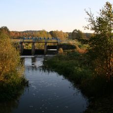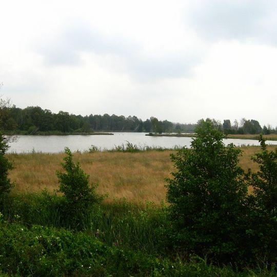
Grenztalmoor, Nature reserve near Tribsees, Germany
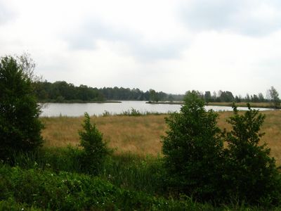
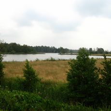
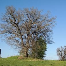
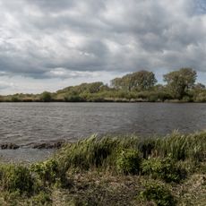
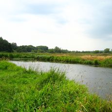
The Grenztalmoor is a lowland moor with a central raised bog that forms the Rauhes Moor nature reserve, between Tribsees and Bad Sülze. The bog lies on the drainage divide between the Recknitz and Trebel rivers, at about 2 metres above sea level. Peat here reaches up to one metre deep, and a hiking trail from Tribsees leads into the moor.
The area was a frontier zone between Mecklenburg and the Principality of Rügen during the Middle Ages. In the 14th century this boundary shifted when Pomerania became the neighboring territory.
The name Grenztalmoor refers to the border valley: in the Middle Ages the moor marked the boundary between Mecklenburg and the Principality of Rügen, from the mid-14th century with Pomerania. Peat cut by smallholders, the so-called Klenbürger, was carried along the Bürgergraben dug from Bad Sülze in 1744 to fire the town's saltworks. The ditch is abandoned today, but its course is still visible in the ground.
The moor is reached on foot via a hiking trail from Tribsees; no other access is described. The trail crosses the former Prahmkanal, a canal built in 1813 whose course is still visible in the ground despite later interruptions. Water levels in the boundary ditches reach about 1.5 m above sea level, close to the highest Trebel flood recorded since 1973 at 1.63 m.
In the 1950s adders were so numerous in the Grenztalmoor that they were collected to produce immune serum. Surveys in the 1990s confirmed that adders, grass snakes, slow worms and common lizards still live in the bog.
The community of curious travelers
AroundUs brings together thousands of curated places, local tips, and hidden gems, enriched daily by 94,411 contributors worldwide.