Farrenpoint, Mountain summit in Bad Feilnbach, Germany.
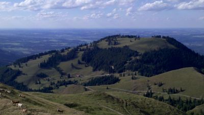
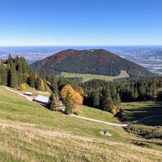
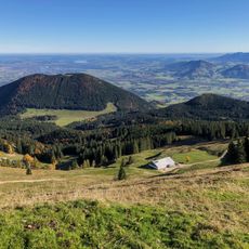
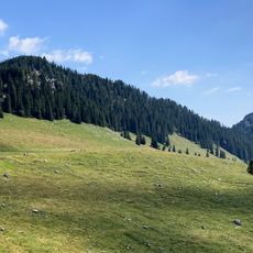
Farrenpoint is a mountain summit in the northern Alps near Bad Feilnbach, standing at 1,273 meters in elevation. The peak offers open views from its ridge with natural vantage points across the surrounding landscape.
The summit was marked as a geodetic survey point by the Institute for Geodesy at the University of the Federal Armed Forces in Munich. This designation shows its scientific importance for mapping and measuring the region.
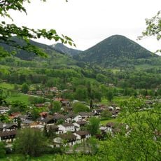
The name comes from Bavarian-Austrian language tradition and likely refers to either historical grazing practices or fern growth in the region. Visitors can experience this linguistic heritage while passing through the surrounding valleys and villages.
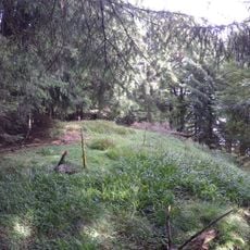
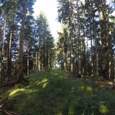
Several hiking trails lead to the summit, with the route from Bad Feilnbach covering around eleven kilometers and climbing several hundred meters in elevation. The path is reasonably well marked, though sturdy footwear and sufficient time are essential.
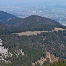
On clear days, hikers can spot several alpine mountain ranges from the peak, including the Zillertal and Großglockner chains. The view extends across flatter terrain all the way to Chiemsee lake on the horizon.
The community of curious travelers
AroundUs brings together thousands of curated places, local tips, and hidden gems, enriched daily by 60,000 contributors worldwide.