
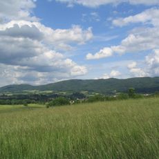
Fahrenbach, municipal district of Fürth in Kreis Bergstraße, Germany
Location: Fürth
Elevation above the sea: 183 m
GPS coordinates: 49.63870,8.76892
Latest update: April 2, 2025 23:34
Wagenberg
2.9 km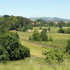
Naturschutzgebiet Weschnitzaue von Rimbach und Mörlenbach
2.9 km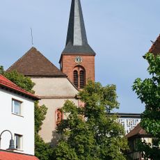
St. Johannes der Täufer
1.7 km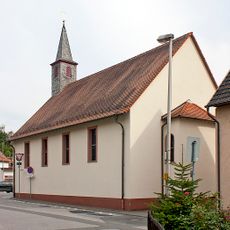
Synagoge Rimbach
2 km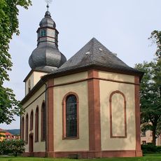
Protestant Church
2 km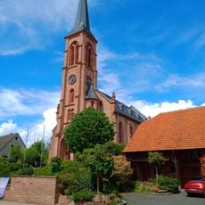
Evangelische Kirche
4 km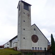
St. Wendelinus
3.3 km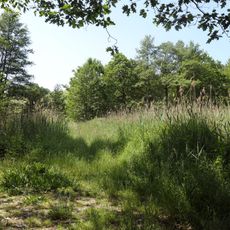
Albersbacher Riedwiesen
2.7 km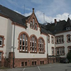
Amtsgericht
1.4 km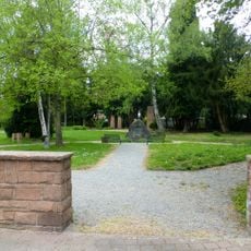
Gesamtanlage Denkmalplatz
2 km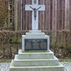
Gefallenen-Ehrenmal
3.2 km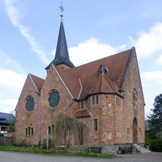
Protestant Church
1.6 km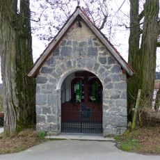
Wegekapelle
4.1 km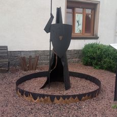
Islands schöne Königin Brünhild
1.4 km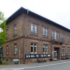
Alte Schule
1.5 km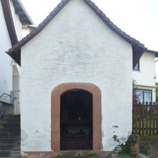
Heiliggrabkapelle, Bildstockschaft
1.2 km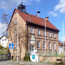
Schule
3 km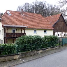
Ehem. Mühle
3.2 km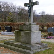
Friedhofskreuz
3.3 km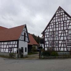
Haus Hauptstraße 10
3.3 km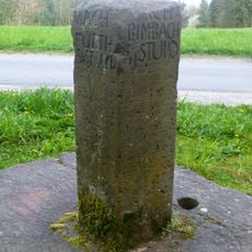
Wegweiserstein
3.4 km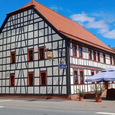
Gasthaus 'Zur Krone'
1.9 km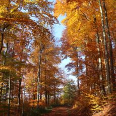
Tromm
3.8 km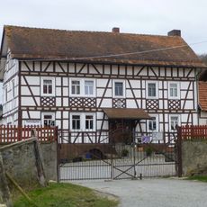
Guldenklinger Hof
4.1 km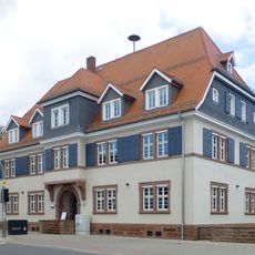
Finanzamt
1.9 km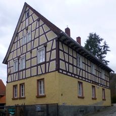
Haus Hauptstraße 22
3.4 km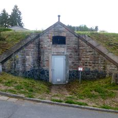
Wasserwerk Hammelbach
3.8 km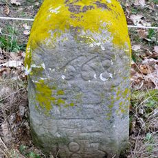
Grenzstein
3.4 kmReviews
Visited this place? Tap the stars to rate it and share your experience / photos with the community! Try now! You can cancel it anytime.
Discover hidden gems everywhere you go!
From secret cafés to breathtaking viewpoints, skip the crowded tourist spots and find places that match your style. Our app makes it easy with voice search, smart filtering, route optimization, and insider tips from travelers worldwide. Download now for the complete mobile experience.

A unique approach to discovering new places❞
— Le Figaro
All the places worth exploring❞
— France Info
A tailor-made excursion in just a few clicks❞
— 20 Minutes