Fürth, municipality in Kreis Bergstraße in Hesse, Germany
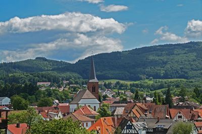
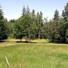
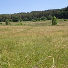
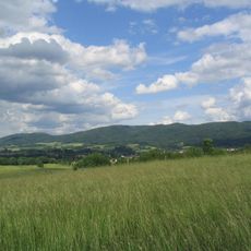
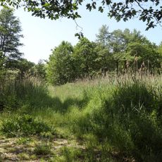
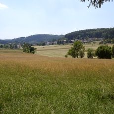
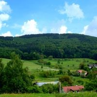
This municipality in Bergstraße district lies in the Weschnitz valley and is characterized by half-timbered houses dating from the 18th and early 19th centuries. The settlement stretches along the river and extends into smaller side valleys, surrounded by forests and meadows that form part of the Bergstraße-Odenwald nature park.
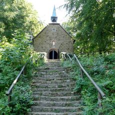
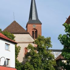
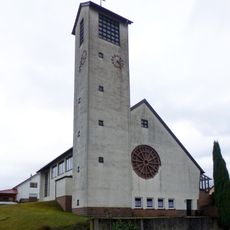
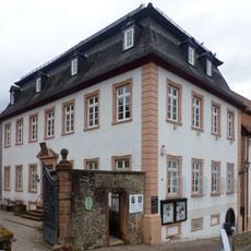
The town's name likely derives from a ford crossing the Weschnitz river, an ancient river passage that led to the village's founding. The Church of St. John the Baptist, built in 1752, documents the settlement's development during the Baroque period.
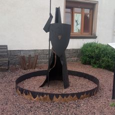
The coat of arms of this municipality features a red cross on a silver background, reflecting its historical connection to Lorsch Monastery and appearing prominently during local celebrations. This symbol serves as a visible link that connects residents to their shared heritage and identity.
The municipality is accessible by train to Weinheim via its railway station and lies on federal highways 460 and 38, connecting to larger cities like Heidelberg and Mannheim. Several hiking trails cross the region, including the art trail to Lindenfels and the Nibelung Trail.
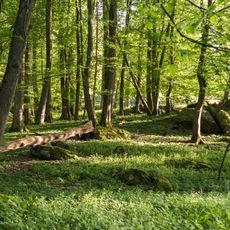
A small animal park has operated in Erlenbach since the 1960s, where visitors can observe mountain animals from around the world. The park offers families and nature enthusiasts an opportunity to see animals in a well-maintained setting and learn about different species.
The community of curious travelers
AroundUs brings together thousands of curated places, local tips, and hidden gems, enriched daily by 60,000 contributors worldwide.