
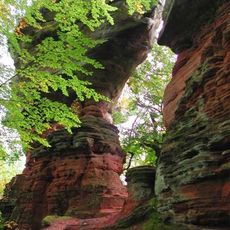
Hoher Kopf, mountain
Location: Rhineland-Palatinate
Elevation above the sea: 467 m
GPS coordinates: 49.11999,7.63977
Latest update: March 15, 2025 09:35
Altschlossfelsen
7.5 km
Siegfried Line Museum, Pirmasens
6.9 km
Castle Lemberg
6.2 km
Biosphärenhaus
7.2 km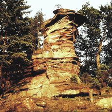
Devil's Table
6.5 km
Abbey Sturzelbronn
8 km
Château de Lutzelhardt
8.4 km
Ruppertstein Castle
8.1 km
Großer Eyberg
8 km
Lindelskopf
5.7 km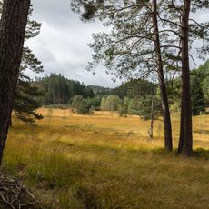
Wolfslöcher
2.6 km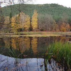
Moosbachtal
7.3 km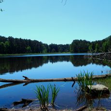
Pfälzerwoog
5.8 km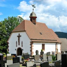
Ulrichskapelle (Fischbach bei Dahn)
6.8 km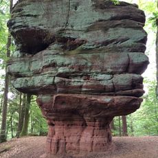
Kanzelfels
7.4 km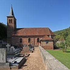
Church of Saint Elisabeth in Sturzelbronn
8.1 km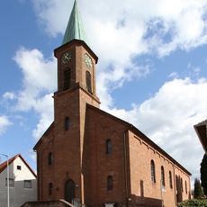
Saint Pirmin in Eppenbrunn
5.8 km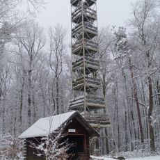
Eyberg Tower
8 km
Area One
6.3 km
Kriegerdenkmal (Vinningen)
7.7 km
Kriegerdenkmal
5.8 km
Kriegerdenkmal (Lemberg)
6 km
Evangelische Kirche
6.9 km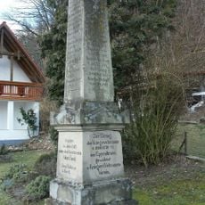
Veteranendenkmal 1866-1870-71 in Eppenbrunn
6.2 km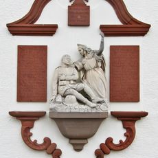
Kriegerdenkmal 1914/18 in Fischbach bei Dahn
6.7 km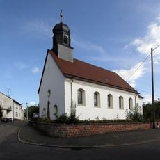
St. Joseph
8.2 km
Evangelische Kirche Hilst
7.9 km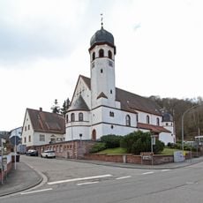
Church of Sacred Heart in Pirmasens-Niedersimten
7 kmReviews
Visited this place? Tap the stars to rate it and share your experience / photos with the community! Try now! You can cancel it anytime.
Discover hidden gems everywhere you go!
From secret cafés to breathtaking viewpoints, skip the crowded tourist spots and find places that match your style. Our app makes it easy with voice search, smart filtering, route optimization, and insider tips from travelers worldwide. Download now for the complete mobile experience.

A unique approach to discovering new places❞
— Le Figaro
All the places worth exploring❞
— France Info
A tailor-made excursion in just a few clicks❞
— 20 Minutes