
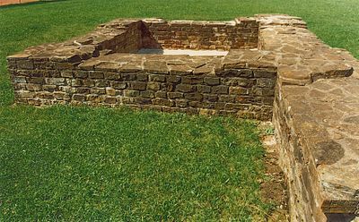
Castra of Unterböbingen, Roman fort
Location: Böbingen an der Rems
Location: Raetia
Part of: Raetian Limes
GPS coordinates: 48.81907,9.92356
Latest update: April 19, 2025 13:11
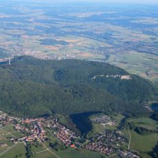
Rosenstein
3.8 km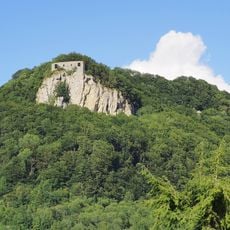
Burg Rosenstein
3.6 km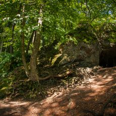
Finsteres Loch
4.2 km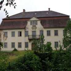
Schloss Horn
3.6 km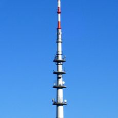
Heubach Telecommunication Tower
4.3 km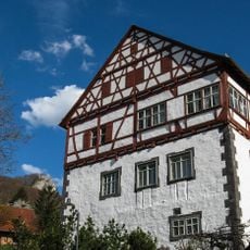
Schloss Heubach
3.4 km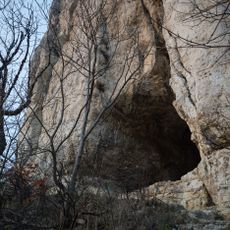
Kleine Scheuer
3.7 km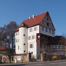
Schloss Leinzell
4.8 km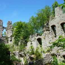
Ruine Lauterburg
5.6 km
Schriftgut-Archiv Ostwürttemberg
3.8 km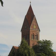
Saint James the Greater Church
4.4 km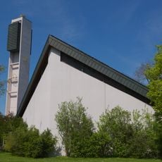
St. Leonhard
5 km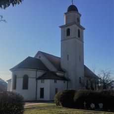
St. Alban
5.5 km
Hochwasserrückhaltebecken Federbach
3.8 km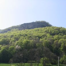
Rosenstein
4.2 km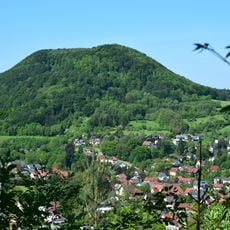
Scheuelberg
4.3 km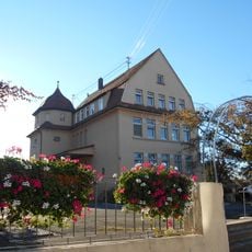
Altes Schulhaus Bargau
4.4 km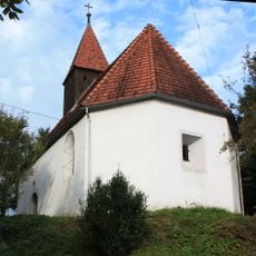
St. Johannes Baptist
3.6 km
St. Nemesius
4.3 km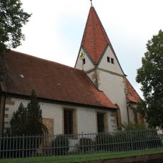
Michael's Church in Boebingen an der Rems
843 m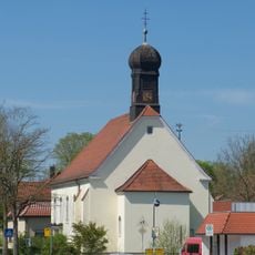
Johanneskirche
5.3 km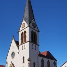
Johanniskirche
5.5 km
Saints Peter and Paul Church
2.8 km
St. Josef in Böbingen an der Rems
414 m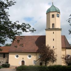
Dorfkirche (Lauterburg)
5.6 km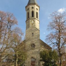
2 Linden bei der Kirche
3.6 km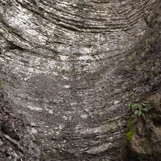
Teufelsklinge
5.6 km
3 Linden vor der Beiswanger Kapelle
2.1 kmReviews
Visited this place? Tap the stars to rate it and share your experience / photos with the community! Try now! You can cancel it anytime.
Discover hidden gems everywhere you go!
From secret cafés to breathtaking viewpoints, skip the crowded tourist spots and find places that match your style. Our app makes it easy with voice search, smart filtering, route optimization, and insider tips from travelers worldwide. Download now for the complete mobile experience.

A unique approach to discovering new places❞
— Le Figaro
All the places worth exploring❞
— France Info
A tailor-made excursion in just a few clicks❞
— 20 Minutes