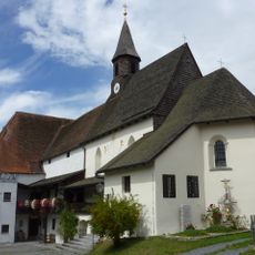
Gallner, Mountain summit in Konzell, Germany
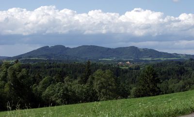
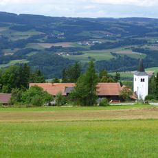
Gallner is a mountain ridge in the Bavarian Forest running west to east between the Kinsach and Menach valleys. The landform displays three separate peaks, with the highest point reaching 710 meters (2,329 feet).
In the early 18th century, the ridge carried the name Goldner before it evolved into its current form as Gallner. This name change reflects how geographical designations developed across the region over time.
The name Gallner derives from the German term Galtvieh, referring to the mountain's traditional use as grazing land for young cattle.
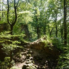
The European long-distance trail E8 crosses the Gallner summit, offering established access points for hikers exploring the Bavarian Forest terrain. Well-marked paths connect the ridge passage to surrounding valleys, allowing flexible route options.
The mountain terrain spans across multiple municipal boundaries, with the summit area belonging to Konzell while the slopes extend into Haibach, Haselbach, and Rattiszell. This division shows how natural features often cross administrative borders in unexpected ways.
The community of curious travelers
AroundUs brings together thousands of curated places, local tips, and hidden gems, enriched daily by 60,000 contributors worldwide.