Enable Location

We need your location to show you interesting places around you

Discover nearby places

Find interesting locations and hidden gems around you

Precise directions

Get accurate directions and distances to places

Your location is never shared with other users. It's only used when you tap the location button.

Gebersdorf

Log in to your account

Start exploring — it's free

Trusted by 62,857 travelers worldwide

Continue with Google
Continue with Apple
or

We will send you a code to connect

By continuing, you accept our Terms and Conditions and our Privacy Policy

Check your inbox

We've sent a pincode in your inbox. Please enter the code below.

Gebersdorf

Gebersdorf, Statistical district in southwest Nuremberg, Germany.

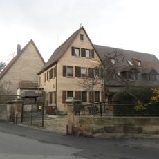
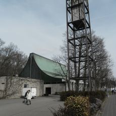
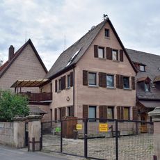
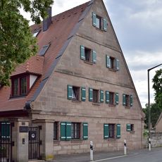
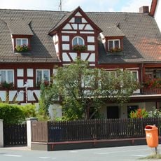
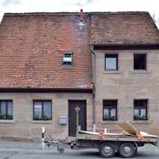
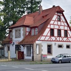
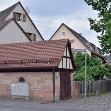
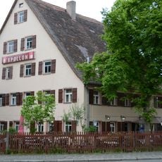
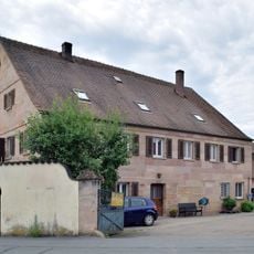
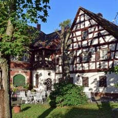
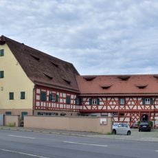
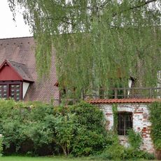
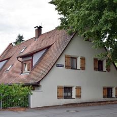
Gebersdorf is a district in southwest Nuremberg with residential neighborhoods, industrial facilities, and former military sites integrated into the city's administrative area. The area displays a mixed character where different land uses sit side by side.

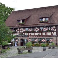
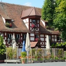
The Nuremberg Burgrave Conrad II transferred the territory to the Bamberg Cathedral chapter in 1303, establishing its early documented record. Later it developed into a residential area with industrial functions that remain defining features today.

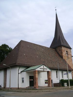
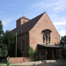
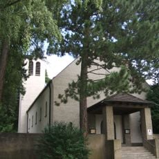
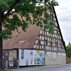
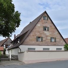
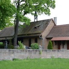
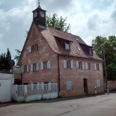
The Protestant Lutheran church of St. Stephanus shapes the local identity and serves residents as a gathering place for religious celebrations and community occasions. It reflects the deep Protestant tradition practiced in this part of Nuremberg.

The district connects to surrounding areas through public transportation and road networks, making it accessible for passing through or visiting specific locations. Visitors should note that the area's character is shaped by industrial and residential functions, which helps with orientation.

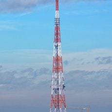
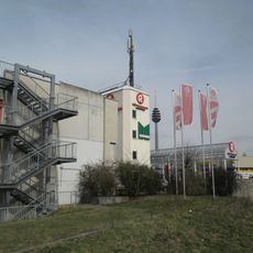
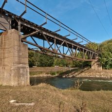
The district houses the Franken 1 power plant and the central railway converter station that supply electricity to the surrounding region. These technical installations are visible to visitors and demonstrate the industrial importance of the area for Nuremberg's infrastructure.

The community of curious travelers

AroundUs brings together thousands of curated places, local tips, and hidden gems, enriched daily by 60,000 contributors worldwide.

Start exploring
Location
Shares border with
Großreuth bei Schweinau
GPS coordinates
49.43000,11.00860
Latest update
December 11, 2025 11:04
« Gebersdorf - Statistical district in southwest Nuremberg, Germany » is provided by Around Us (aroundus.com). Images and texts are derived from Wikimedia project under a Creative Commons license. You are allowed to copy, distribute, and modify copies of this page, under the conditions set by the license, as long as this note is clearly visible.

Discover hidden gems everywhere you go!

From secret cafés to breathtaking viewpoints, skip the crowded tourist spots and find places that match your style. Our app makes it easy with voice search, smart filtering, route optimization, and insider tips from travelers worldwide. Download now for the complete mobile experience.

Around Us App Screenshot

A unique approach to discovering new places

Le Figaro

All the places worth exploring

France Info

A tailor-made excursion in just a few clicks

20 Minutes

Around Us
Travel Guide & Maps
Download

Send to your phone

QR Code
1

Open the camera app on your mobile.

2

Point at the QR code with your camera. A notification will appear.

3

Tap the notification to open the link.