Großer Seddiner See, Lake in Seddiner See, Germany
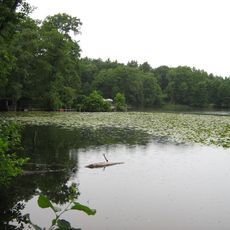
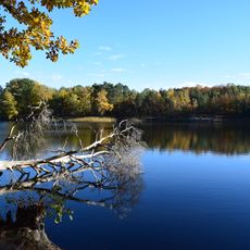
Großer Seddiner See is a 218-hectare ribbon lake in Brandenburg's Potsdam-Mittelmark district, about 22 km southwest of Berlin. It stretches 3.9 km east-west and is up to 1.07 km wide, with an average depth of 3 m and a maximum of 7.2 m. Its banks are largely lined with reeds, and a narrow strip of land separates it from Kähnsdorfer See.
The lake originated during the last ice age when glacier movement shaped the landscape of Brandenburg. This geological process created a chain of water bodies across the region.
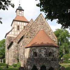
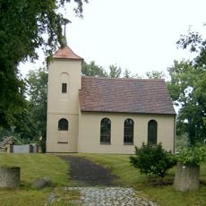
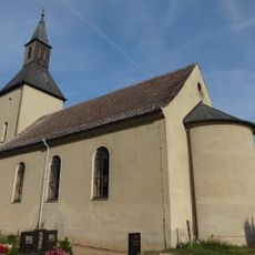
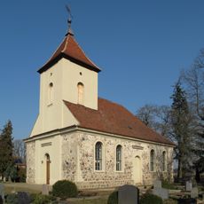
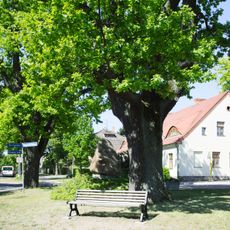
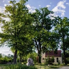
The lake's name comes from the village of Seddin on its southern shore; the village church stands on a spit that narrows the water to about 200 metres. Until a dam was built in 1804 the western bay was part of the main lake, and older maps still label today's Kähnsdorfer See as the Kleiner Seddiner See. The Förderverein Seddiner See points out this naming confusion.
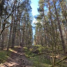
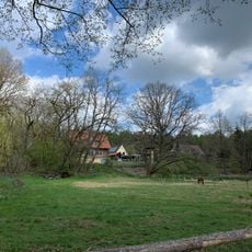
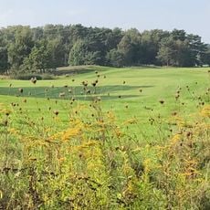
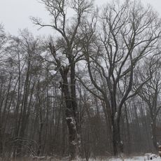
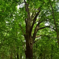
A walking path circles the lake and connects to nearby water bodies and nature areas. The surroundings are easily accessible for visitors who enjoy outdoor walks and wildlife watching.
The B2 federal highway separates the main lake from its western bay, the Kleiner Seddiner See, which covers about 4.4 hectares and has been cut off since a dam was built in 1804. A narrow strip of land on the southeast shore separates the roughly 26-hectare Kähnsdorfer See from the main water body.
The community of curious travelers
AroundUs brings together thousands of curated places, local tips, and hidden gems, enriched daily by 94,638 contributors worldwide.