
Ludweiler, human settlement in Germany
Location: Völklingen
Elevation above the sea: 250 m
GPS coordinates: 49.22190,6.80778
Latest update: June 11, 2025 23:03
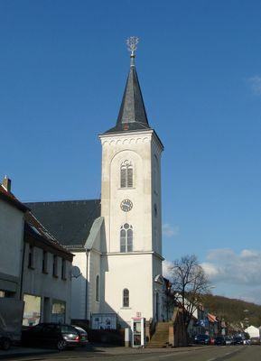
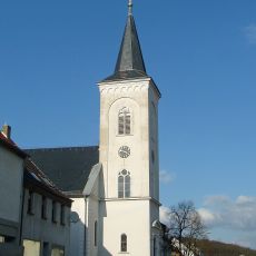
Huguenot church, Ludweiler
24 m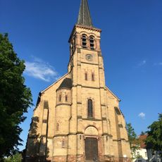
St. Wendalinus
2.9 km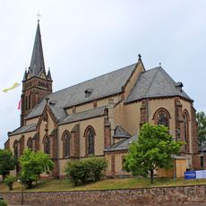
St. Gangolf
3 km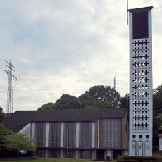
Auferstehungskirche
3 km
Schutzengelkirche (Schaffhausen (Saar))
3.7 km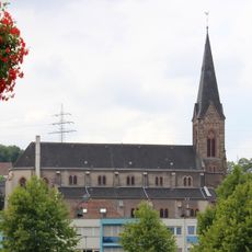
St. Josef
3.4 km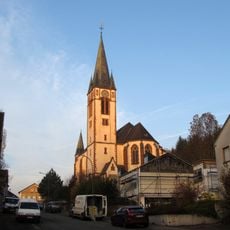
Mariä Himmelfahrt
2.7 km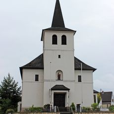
St. Antonius
2.6 km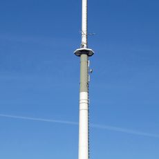
Sender Völklingen
2.4 km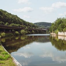
Hallerbrücke
3.9 km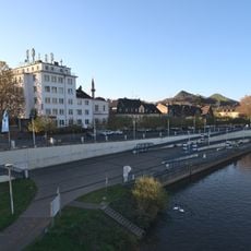
Selimiye-Moschee Völklingen
3.5 km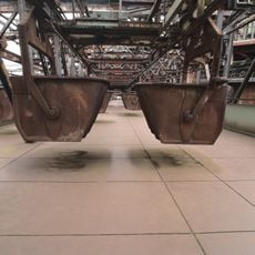
Charging platform
4 km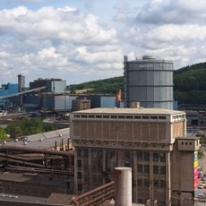
Water tower
4 km
Hühnerscheer Berg
3.6 km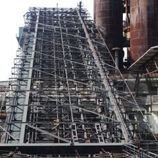
Ore elevator
3.9 km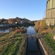
Schleuse Völklingen
3.7 km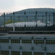
Telescopic gas holder
3.7 km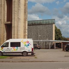
St. Hedwig
3.2 km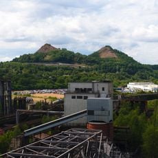
Spitzkegelhalden „Hermann und Dorothea“
4 km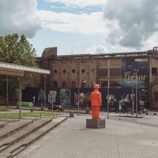
Blasting hall
4 km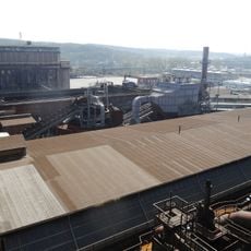
Burden shed
4 km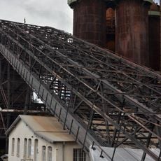
Blast furnace office
3.9 km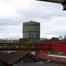
Disc-type gasholder
3.7 km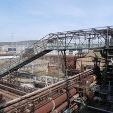
Coke elevator
4 km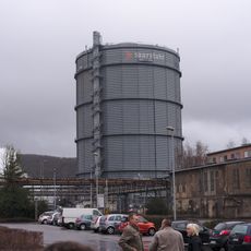
Gasometer
4 km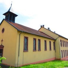
Chapelle Sainte-Marie-Madeleine d'Urselsbach
4 km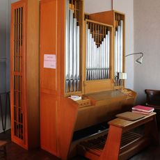
Hammer-Orgel in Auferstehungskirche
3 km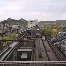
Coke plant of Völklingen Ironworks
4 kmReviews
Visited this place? Tap the stars to rate it and share your experience / photos with the community! Try now! You can cancel it anytime.
Discover hidden gems everywhere you go!
From secret cafés to breathtaking viewpoints, skip the crowded tourist spots and find places that match your style. Our app makes it easy with voice search, smart filtering, route optimization, and insider tips from travelers worldwide. Download now for the complete mobile experience.

A unique approach to discovering new places❞
— Le Figaro
All the places worth exploring❞
— France Info
A tailor-made excursion in just a few clicks❞
— 20 Minutes