Süßer See, Lake in Mansfeld-Südharz, Germany
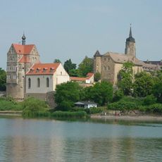
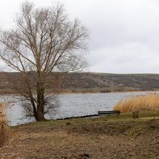
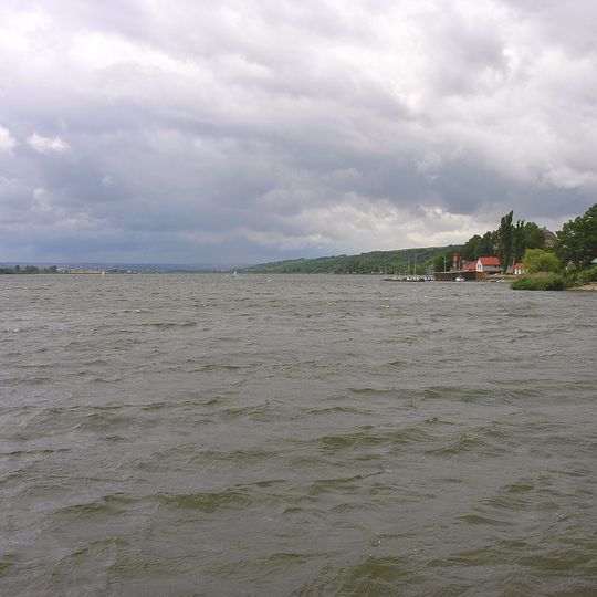
Süßer See is a lake in the Mansfeld-Südharz region surrounded by gently rolling terrain and small villages along its banks. The water is shallow and calm, making it accessible for swimming, fishing, and recreational boating throughout the warmer months.
Süßer See lies in a hollow formed by the natural leaching of rock salt underground and the collapse of the overlying strata, not by glaciers. In 2018 a diving drone found a circular burial mound 6 m across at a depth of 4 m, and elsewhere remains of pile dwellings. In 2023 a portable neutron generator, used for the first time in European underwater archaeology, located metal objects in the mound area and building remains and jetties up to 50 m long from the 11th to 15th centuries. Researchers conclude the lake dried out almost completely 3000 years ago and refilled in the 15th century.
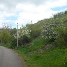
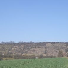
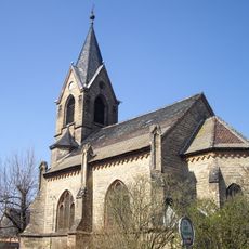
Vineyards on the lake's slopes belong to the Saale-Unstrut wine region and are linked by the Weinstraße Mansfelder Seen wine route. The villages of Seeburg and Aseleben lie on the shore, and the E11 long-distance footpath runs along the northern bank. The lake's name is written with the German eszett as Süßer See.
Several access points around the lake allow visitors to reach the water easily, with designated swimming areas and boat launches marked at different spots along the shore. Check water conditions before your visit, as wind and temperature can change throughout the day.
Beneath the water lie remnants of an ancient settlement, its age determined through archaeological surveys and core sampling. This submerged site makes the lake a place of scientific interest where researchers continue to study early human occupation patterns.
The community of curious travelers
AroundUs brings together thousands of curated places, local tips, and hidden gems, enriched daily by 95,118 contributors worldwide.