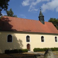
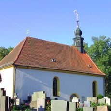
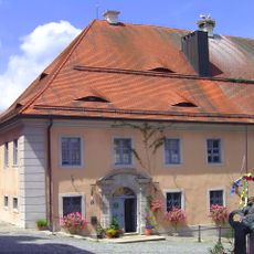
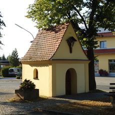
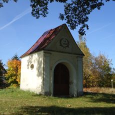
Tirschenreuther Teichpfanne, Lake system in Tirschenreuth district, Bavaria, Germany.
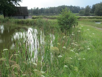
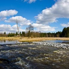
Tirschenreuther Teichpfanne is a pond landscape in the Tirschenreuth district featuring thousands of interconnected fishing ponds separated by narrow earth embankments spread across a large area. The ponds lie close together in northeastern Upper Palatinate, creating a distinctive landscape of water, vegetation, and walking paths.
The pond system was established in medieval times by the Cistercian monastery of Waldsassen and was managed by monks for centuries. Following secularization in the early 1800s, the ponds were transferred to private ownership where they have remained.
The region maintains traditional carp farming as a living practice that shapes how people work the land. You see evidence of this craft everywhere in how the shallow ponds are managed and used by local fish farmers who continue this work today.
You can explore the pond landscape through marked walking trails that connect different areas of the system. A former railway line has been converted into a cycling path that provides an easy way to see the whole area.
The area serves as a crucial habitat for numerous water birds and migratory species that rest and breed here. Bird watchers visit throughout the year to spot rare species and observe the rich birdlife that the ponds support.
The community of curious travelers
AroundUs brings together thousands of curated places, local tips, and hidden gems, enriched daily by 60,000 contributors worldwide.