
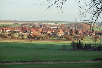
Großmehlra, human settlement in Germany
Location: Obermehler
Elevation above the sea: 253 m
GPS coordinates: 51.26530,10.61250
Latest update: March 3, 2025 07:47
Volkenroda Abbey
3.6 km
Volkenrodaer Eiche
3.2 km
Christus-Pavillon
3.6 km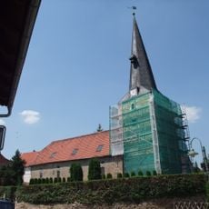
St. Georg (Grabe)
6.7 km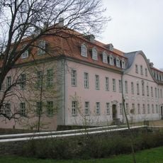
Schloss Schlotheim
3.6 km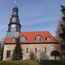
St. Nikolai
6 km
St. Johannis
3.4 km
St. Michaelis
6.2 km
St. Marien (Körner)
4.1 km
St. Nikolaus
7 km
St. Ulrich
1.1 km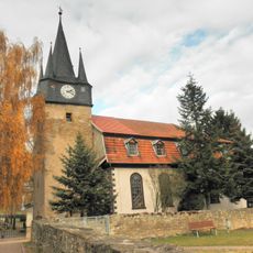
St. Bonifatius
6.5 km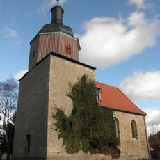
Protestant Church (Mehrstedt)
3.8 km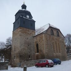
St. Salvator (Schlotheim)
3.5 km
Sonder
6.4 km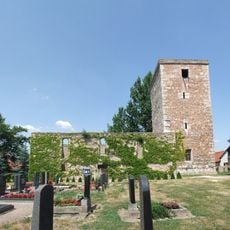
St. Albanus
6.5 km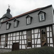
Protestant Church (Kleinbüchter)
5.5 km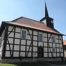
Protestant Church (Hohenbergen)
5.3 km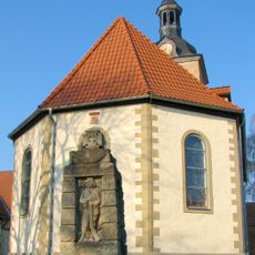
St. Petrus (Ebeleben)
6.1 km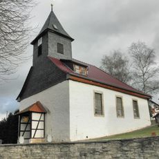
Protestant Church (Marolterode)
6.1 km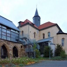
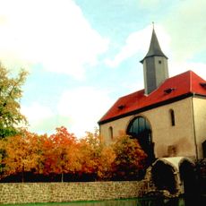
St. Marien (Volkenroda)
3.5 km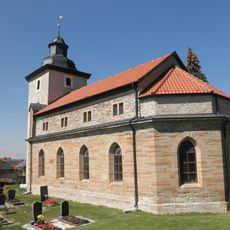
St. Johannis (Issersheilingen)
7.2 km
St. Vitus (Großmehlra)
61 m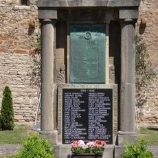
War memorial Großmehlra
57 m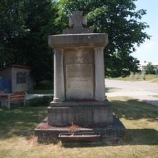
War memorial Großgrabe
6.8 km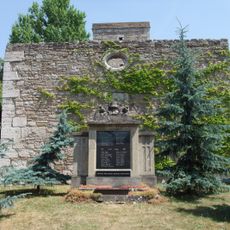
War memorial Kleingrabe
6.5 km
War memorial Saalfeld (Mühlhausen)
6 km
War memorial Windeberg
7 kmVisited this place? Tap the stars to rate it and share your experience / photos with the community! Try now! You can cancel it anytime.
Discover hidden gems everywhere you go!
From secret cafés to breathtaking viewpoints, skip the crowded tourist spots and find places that match your style. Our app makes it easy with voice search, smart filtering, route optimization, and insider tips from travelers worldwide. Download now for the complete mobile experience.

A unique approach to discovering new places❞
— Le Figaro
All the places worth exploring❞
— France Info
A tailor-made excursion in just a few clicks❞
— 20 Minutes