
Großsander, human settlement in Germany
Location: Uplengen
Elevation above the sea: 8 m
GPS coordinates: 53.30111,7.80667
Latest update: June 3, 2025 03:04
St.-Petri-Kirche
9.4 km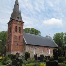
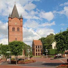
St.-Martins-Kirche
3.7 km
Mansinger Burgplatz
9.6 km
Christus-Kirche (Hollen)
8.4 km
Versöhnungskirche
9.3 km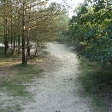
Holle Sand
7 km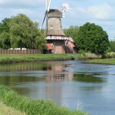
Hengstforder Mühle
9.5 km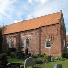
St. Nikolai, Apen
9.3 km
Friedenskirche (Ockenhausen)
5.6 km
Neudorfer Moor
6.7 km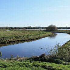
Vreschen-Bokel am Aper Tief
11.6 km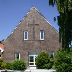
Baptistenkapelle Firrel
10.1 km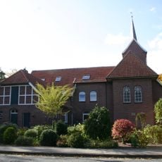
Andreaskirche
9.9 km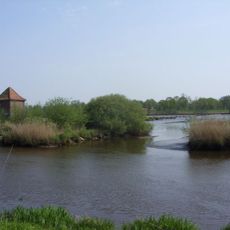
Aper Tief
9.9 km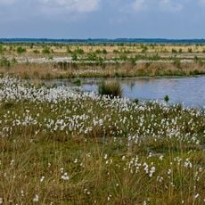
Stapeler Moor und Umgebung
8.1 km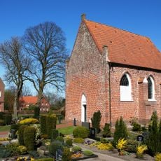
Kapelle Vreschen-Bokel
10.4 km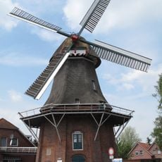
Windmühle Remels
3.6 km
Campingplatz am Königssee
10.1 km
Herrensitz
9.6 km
Holtgast
11.3 km
Roggenmoor
7.6 km
Freialtar
9.6 km
Hössen Schwimmbad
8.9 km
Landhof Tausendschön
6.8 km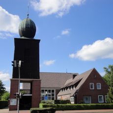
Pauluskirche
12.2 km
Burgplatz Mansingen mit Umgebung
9.6 km
Gießelhorster Kirchweg
11.5 km
Heseler Wald
12.3 kmReviews
Visited this place? Tap the stars to rate it and share your experience / photos with the community! Try now! You can cancel it anytime.
Discover hidden gems everywhere you go!
From secret cafés to breathtaking viewpoints, skip the crowded tourist spots and find places that match your style. Our app makes it easy with voice search, smart filtering, route optimization, and insider tips from travelers worldwide. Download now for the complete mobile experience.

A unique approach to discovering new places❞
— Le Figaro
All the places worth exploring❞
— France Info
A tailor-made excursion in just a few clicks❞
— 20 Minutes