
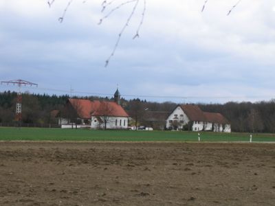
Maria im Gnadenfeld, human settlement in Germany
Location: Neuburg an der Donau
Address: In Gnadenfeld 86633
GPS coordinates: 48.71314,11.17144
Latest update: March 6, 2025 13:40
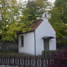
St. Wendelin
913 m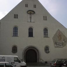
St. Augustin
2.3 km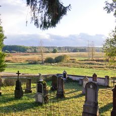
Kreut
2.1 km
Kloster der Elisabethinerinnen
2.1 km
Bahnhofstraße B 105
2.1 km
Bahnhofstraße B 140
1.8 km
Bahnhofstraße B 109
1.9 km
Weveldweg 4
1.8 km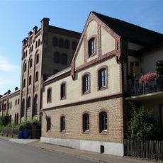
Sehensander Weg 4
1.8 km
Bahnhofstraße B 112
1.8 km
Bahnhofstraße B 139
1.8 km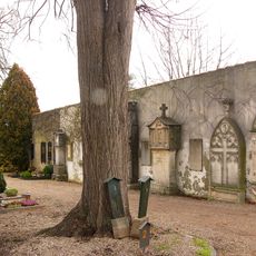
Städtischer Friedhof
2.2 km
Bahnhofstraße B 142
1.9 km
Bahnhofstraße B 111
1.8 km
Franziskanerstraße B 219 (Neuburg an der Donau)
2.3 km
Bahnhofstraße B 141
1.9 km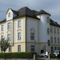
Bahnhofstraße B 108
1.9 km
Bahnhofstraße B 147
2.1 km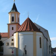
Bahnhofstraße B 107
2 km
Dr.-Karl-Lexer-Weg B 300
2 km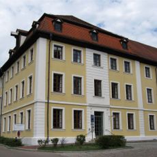
Ehemalige Kaserne, sogenannte Lassigny-Kaserne, mit Mannschafts- und Wirtschaftsgebäuden, 1886–1911, Hauptbauphase 1889/90. Sogenannte Alte Kaserne , jetzt Landratsamt
2.2 km
Franziskanerstraße B 204
2.3 km
Dr.-Karl-Lexer-Weg B 304
2 km
Bahnhofstraße B 148 (Neuburg an der Donau)
2.2 km
Franziskanerstraße B 205 (Neuburg an der Donau)
2.3 km
Fünfzehnerstraße 9 (Neuburg an der Donau)
2.3 km
Turnhalle
2.3 km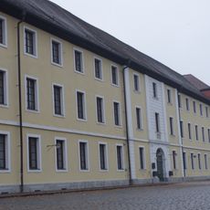
Platz der Deutschen Einheit 1
2.2 kmVisited this place? Tap the stars to rate it and share your experience / photos with the community! Try now! You can cancel it anytime.
Discover hidden gems everywhere you go!
From secret cafés to breathtaking viewpoints, skip the crowded tourist spots and find places that match your style. Our app makes it easy with voice search, smart filtering, route optimization, and insider tips from travelers worldwide. Download now for the complete mobile experience.

A unique approach to discovering new places❞
— Le Figaro
All the places worth exploring❞
— France Info
A tailor-made excursion in just a few clicks❞
— 20 Minutes