
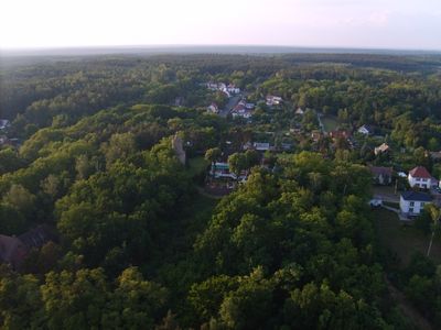
Güterbank, mountain
Location: Brandenburg
Elevation above the sea: 153 m
GPS coordinates: 51.48292,13.50303
Latest update: March 6, 2025 12:54
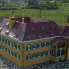
Schloss Saathain
2.9 km
Kleine Galerie Elsterwerda
3 km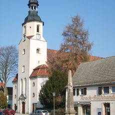
St. Katharina-Kirche
3.3 km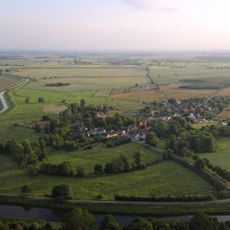
Schloss Würdenhain
3 km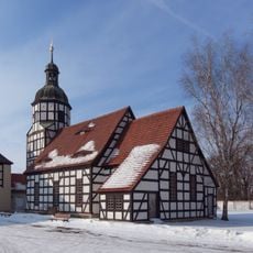
Gutskirche Saathain
2.9 km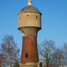
Wasserturm Weststraße Elsterwerda
3.3 km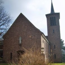
Christuskirche Biehla
1 km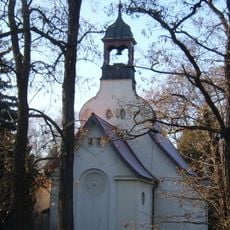
Katholische Kirche Elsterwerda
2.5 km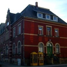
Kaiserliches Postamt Elsterwerda
2.9 km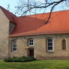
Dorfkirche (Würdenhain)
3.1 km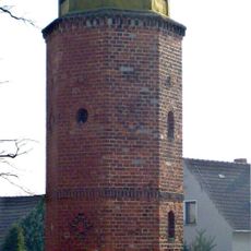
Glockenturm Biehla
1.2 km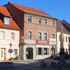
Hauptstraße 8 (Elsterwerda)
3.3 km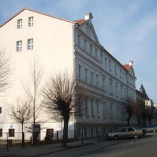
Präparandenanstalt Elsterwerda
3.2 km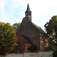
Village church Burxdorf
3.2 km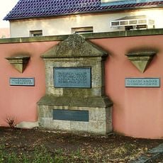
Familiengrabstelle Nadler
2.8 km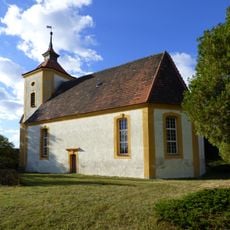
Dorfkirche (Dreska)
2.5 km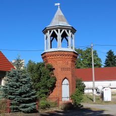
Glockenturm Kraupa
1.3 km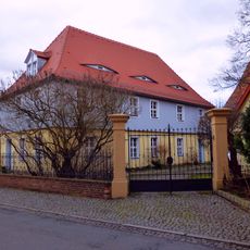
Pfarrhaus Kirchstraße (Elsterwerda)
3.2 km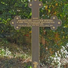
Grabkreuz des Johann Carl Gottlieb Seifert
3.3 km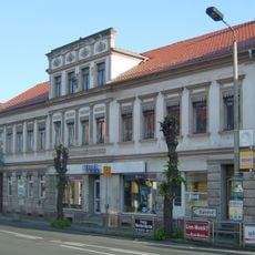
Bahnhofstraße 25
2.9 km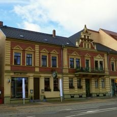
Berliner Straße 2
2.9 km
Transformatorenhaus in der Saathainer Straße 2
1.6 km
Dorfstraße 10
3.3 km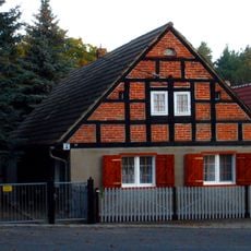
Wohnhaus Dorfstraße 23
1.4 km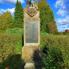
Gefallenendenkmal Dreska
2.4 km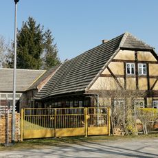
Dorfplatz 8
2.6 km
Naturdenkmal Linde vor dem Denkmal Dorfstraße; Flur 1, Flurstück 8 in Kraupa
1.4 km
Naturdenkmal Bergulme am Kinderspielplatz in Dreska
2.6 kmVisited this place? Tap the stars to rate it and share your experience / photos with the community! Try now! You can cancel it anytime.
Discover hidden gems everywhere you go!
From secret cafés to breathtaking viewpoints, skip the crowded tourist spots and find places that match your style. Our app makes it easy with voice search, smart filtering, route optimization, and insider tips from travelers worldwide. Download now for the complete mobile experience.

A unique approach to discovering new places❞
— Le Figaro
All the places worth exploring❞
— France Info
A tailor-made excursion in just a few clicks❞
— 20 Minutes