
Hahn, municipal district of Taunusstein in Rheingau-Taunus-Kreis, Germany
Location: Taunusstein
Elevation above the sea: 346 m
GPS coordinates: 50.14300,8.15956
Latest update: March 10, 2025 22:05
Bahnhof Eiserne Hand
2 km
Schloss Wehen
2.3 km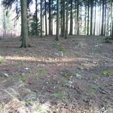
Ringwall Altenstein
1.5 km
Evangelische Kirche
2.2 km
Aarstraße 240 (Wehen)
2.2 km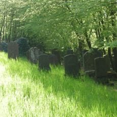
Jüdischer Friedhof Wehen
2.3 km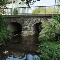
Brücke
1.4 km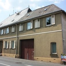
Aarstraße 52
1.6 km
Aarstraße 240
2.2 km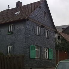
Mainzer Allee 9
2.2 km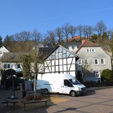
Gesamtanlage Im Hängel
2.3 km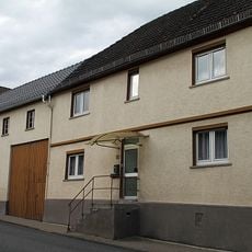
Stiftstraße 13
1.6 km
Zum Schwimmbad 11
602 m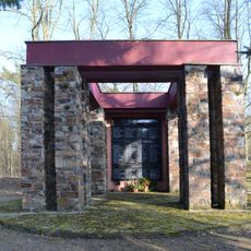
Ehrenmal
341 m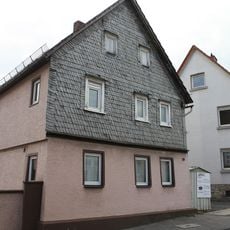
Aarstraße 59
1.5 km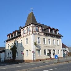
Gasthaus zum Taunus
30 m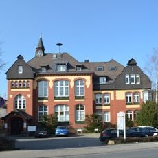
Rathaus
2.2 km
Scheidertalstraße 55
666 m
Wilhelmstraße 7
2.2 km
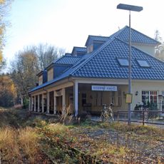
Bahnhof
2 km
Scheidertalstraße 52
615 m
Gasthof Goldener Engel
1.5 km
Haus Tannenburg
744 m
Ehemaliges Kurheim
167 m
Gerichtsstraße 2
2.2 km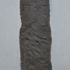
Grenzstein
1.6 km
Ehem. evangelisches Pfarrhaus
2.1 km
Aarstraße 58
1.6 kmVisited this place? Tap the stars to rate it and share your experience / photos with the community! Try now! You can cancel it anytime.
Discover hidden gems everywhere you go!
From secret cafés to breathtaking viewpoints, skip the crowded tourist spots and find places that match your style. Our app makes it easy with voice search, smart filtering, route optimization, and insider tips from travelers worldwide. Download now for the complete mobile experience.

A unique approach to discovering new places❞
— Le Figaro
All the places worth exploring❞
— France Info
A tailor-made excursion in just a few clicks❞
— 20 Minutes