Enable Location

We need your location to show you interesting places around you

Discover nearby places

Find interesting locations and hidden gems around you

Precise directions

Get accurate directions and distances to places

Your location is never shared with other users. It's only used when you tap the location button.

Taunusstein

Log in to your account

Start exploring — it's free

Trusted by 62,177 travelers worldwide

Continue with Google
Continue with Apple
or

We will send you a code to connect

By continuing, you accept our Terms and Conditions and our Privacy Policy

Check your inbox

We've sent a pincode in your inbox. Please enter the code below.

Taunusstein, Urban municipality in Rheingau-Taunus-Kreis, Germany.

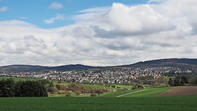
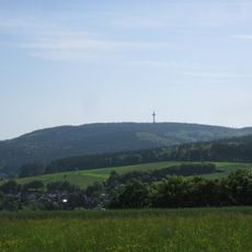
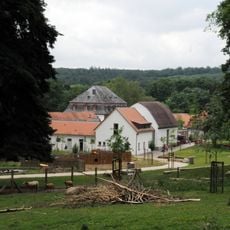
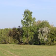
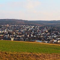
Taunusstein is a larger town spread across several merged communities in the rolling hills between Wiesbaden and the Rhine region. The districts sit at different elevations surrounded by forest and farmland, with some older village centers that still show their traditional layouts.

The town was created in 1971 by joining ten villages, including Bleidenstadt and Wehen, to form a new administrative center for the region. This merger made it the largest settlement in Rheingau-Taunus-Kreis.

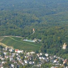
The town carries marks of its past in monuments and street names reflecting the region's ties to the Houses of Nassau and their rule. Visitors notice these historical references while walking through the different districts.

The town is well accessible by road and sits about 10 kilometers northwest of Wiesbaden, making larger cities easy to reach. Local bus services connect the different village districts, which is helpful if you travel without a car.

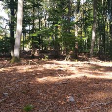
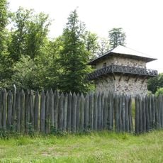
The Aar River begins here in one district near the remains of a Roman watchtower that once guarded the ancient boundary between Roman and Germanic lands. This archaeological site belongs to a UNESCO World Heritage site and tells the story of how this frontier once divided Europe.

The community of curious travelers

AroundUs brings together thousands of curated places, local tips, and hidden gems, enriched daily by 60,000 contributors worldwide.

Start exploring
Inception
1971
Elevation above the sea
381 m
Shares border with
Hohenstein, Schlangenbad, Niedernhausen, Idstein, Hünstetten, Bad Schwalbach
Phone
GPS coordinates
50.14347,8.16056
Latest update
December 17, 2025 11:07
« Taunusstein - Urban municipality in Rheingau-Taunus-Kreis, Germany » is provided by Around Us (aroundus.com). Images and texts are derived from Wikimedia project under a Creative Commons license. You are allowed to copy, distribute, and modify copies of this page, under the conditions set by the license, as long as this note is clearly visible.

Discover hidden gems everywhere you go!

From secret cafés to breathtaking viewpoints, skip the crowded tourist spots and find places that match your style. Our app makes it easy with voice search, smart filtering, route optimization, and insider tips from travelers worldwide. Download now for the complete mobile experience.

Around Us App Screenshot

A unique approach to discovering new places

Le Figaro

All the places worth exploring

France Info

A tailor-made excursion in just a few clicks

20 Minutes

Around Us
Travel Guide & Maps
Download

Send to your phone

QR Code
1

Open the camera app on your mobile.

2

Point at the QR code with your camera. A notification will appear.

3

Tap the notification to open the link.