
Hemhofen, municipality of Germany
Location: Erlangen-Höchstadt
Elevation above the sea: 318 m
Shares border with: , Röttenbach
Website: http://hemhofen.de
GPS coordinates: 49.68306,10.93306
Latest update: March 7, 2025 12:06

Aischgrund
2 km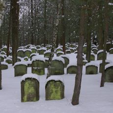
Jewish cemetery, Zeckern
1.8 km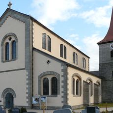
Sankt-Mauritius-Kirche Röttenbach
1.3 km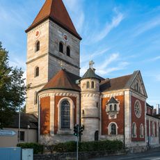
Pfarrkirche
4.8 km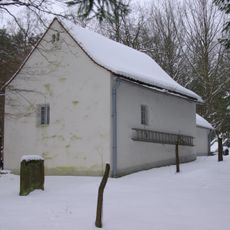
Taharahaus
1.8 km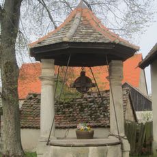
Dorfbrunnen Weppersdorf
4.4 km
Chorturmkirche
2.5 km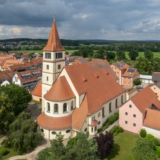
St. Stephanus
4.3 km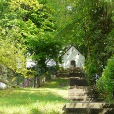
Katholische Kapelle St. Marien auf dem Mühlberg
2.1 km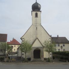
Kapelle in Weppersdorf (Adelsdorf)
4.4 km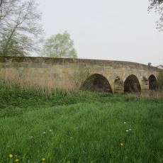
Aischbrücke in Weppersdorf
4.6 km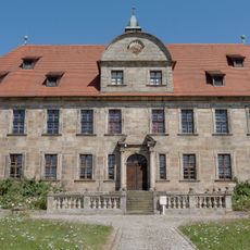
Schloss Hemhofen
391 m
Schafgasse 3
4.2 km
Schafgasse 7
4.2 km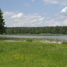
Markwald bei Baiersdorf
5.2 km
Weppersdorf 5 (Adelsdorf)
4.4 km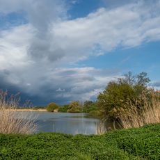
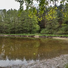
Teiche und Feuchtflächen im Aischgrund, Weihergebiet bei Mohrhof
3.4 km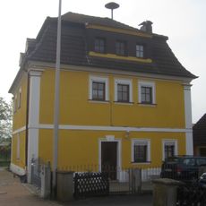
Weppersdorf 1 (Adelsdorf)
4.5 km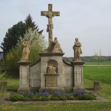
Kreuzgruppe in Weppersdorf
4.2 km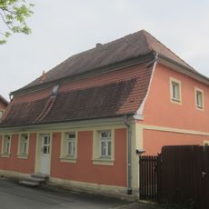
Erlanger Straße 14
4.1 km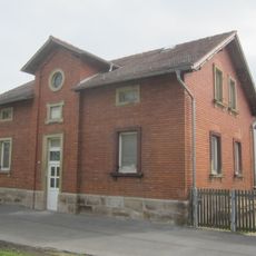
Erlanger Straße 16
4.1 km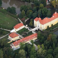
Wasserburg
5.1 km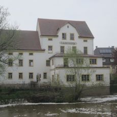
Laufer Mühle (Adelsdorf)
4.8 km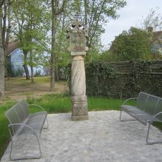
Marter bei Hauptstraße 23
4.3 km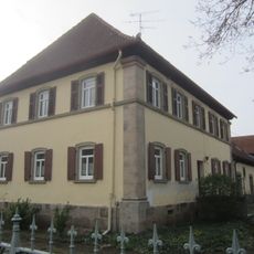
Weppersdorf 23
4.4 km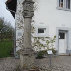
Marter in Lauf
4.8 km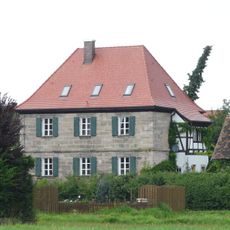
Altes Forsthaus
1.2 km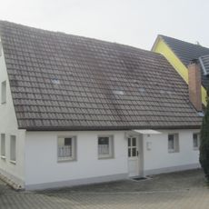
Hauptstraße 26
4.2 kmReviews
Visited this place? Tap the stars to rate it and share your experience / photos with the community! Try now! You can cancel it anytime.
Discover hidden gems everywhere you go!
From secret cafés to breathtaking viewpoints, skip the crowded tourist spots and find places that match your style. Our app makes it easy with voice search, smart filtering, route optimization, and insider tips from travelers worldwide. Download now for the complete mobile experience.

A unique approach to discovering new places❞
— Le Figaro
All the places worth exploring❞
— France Info
A tailor-made excursion in just a few clicks❞
— 20 Minutes