Log in to your account

AroundUs is a community-driven map of interesting places, built by curious explorers like you. It grows with every review, story, and photo you share.
Connect to save your favorite spots, contribute locations, and create personalized routes.
Continue with Google
Continue with Apple
Continue with X
Continue with Facebook
Continue with email
By continuing, you accept our Terms and Conditions and our Privacy Policy
Create an account
Add to collection
Map
Suggest a change
Share

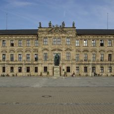
Erlangen-Höchstadt, Administrative district in Middle Franconia, Germany.

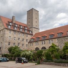
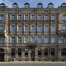
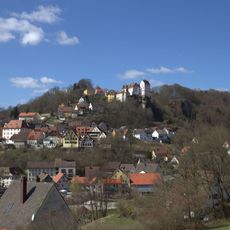
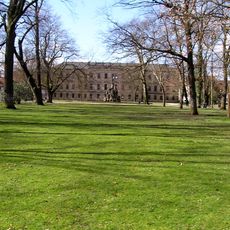
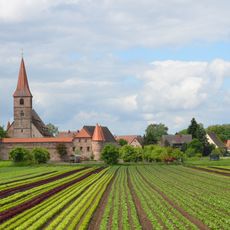
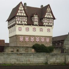
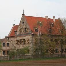
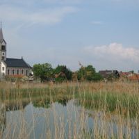
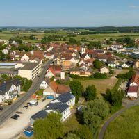
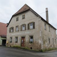
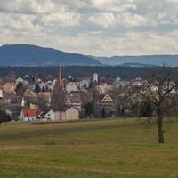
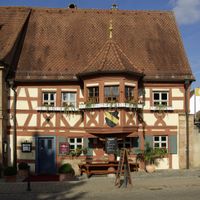
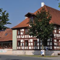
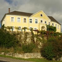
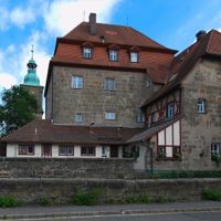
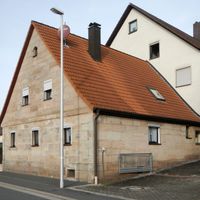
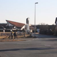
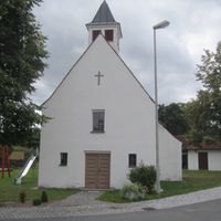
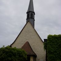
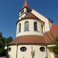
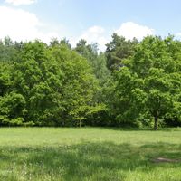
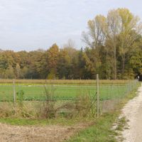
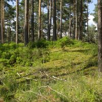
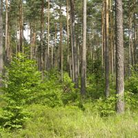
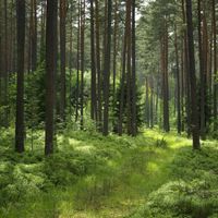
Erlangen-Höchstadt is an administrative district in Middle Franconia that comprises several municipalities with a landscape of rural settlements and forest areas. The terrain features gentle hills, farmland, and extensive woodlands that define the visual character of the region.

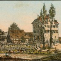
The district was created in 1972 during an administrative reform when smaller communes and territories were combined into one. This reorganization created the current structure and enabled more efficient regional governance.

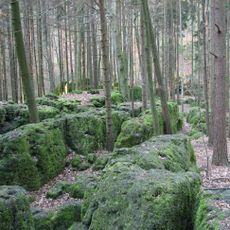
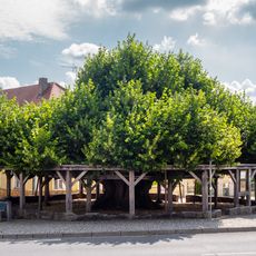
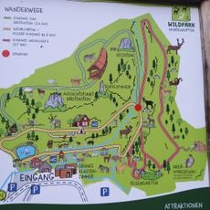
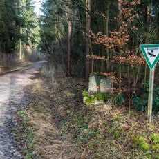
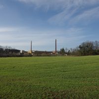
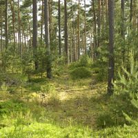
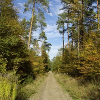
The district's landscape is shaped by forests that influence how local communities live and identify themselves. These wooded areas define the character of the region and provide space for everyday activities.

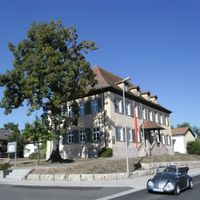
Visitors can explore the different municipalities on their own, with local information points in each town helping to understand the region better. Public transport connects the communities and makes it possible to experience the landscape without a car.

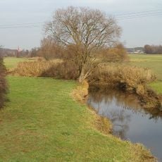
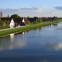
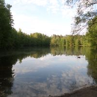
The Regnitz River flows through the district and historically held great importance for water power and mill industries. This river system shaped the economic development of many communities in the area for centuries.

Location: Middle Franconia

Inception: July 1, 1972

Capital city: Erlangen

Elevation above the sea: 287 m

Shares border with: Neustadt (Aisch)-Bad Windsheim, Fürth, Nuremberg, Erlangen, Nürnberger Land, Forchheim District, Bamberg

Website: https://erlangen-hoechstadt.de

GPS coordinates: 49.67000,10.83000

Latest update: December 20, 2025 02:44

Photos
Reviews

Visited this place? Tap the stars to rate it and share your experience / photos with the community! Try now! You can cancel it anytime.

« Erlangen-Höchstadt - Administrative district in Middle Franconia, Germany » is provided by Around Us (aroundus.com). Images and texts are derived from Wikimedia project under a Creative Commons license. You are allowed to copy, distribute, and modify copies of this page, under the conditions set by the license, as long as this note is clearly visible.

Discover hidden gems everywhere you go!

From secret cafés to breathtaking viewpoints, skip the crowded tourist spots and find places that match your style. Our app makes it easy with voice search, smart filtering, route optimization, and insider tips from travelers worldwide. Download now for the complete mobile experience.

Around Us App Screenshot

A unique approach to discovering new places

Le Figaro

All the places worth exploring

France Info

A tailor-made excursion in just a few clicks

20 Minutes