Enable Location

We need your location to show you interesting places around you

Discover nearby places

Find interesting locations and hidden gems around you

Precise directions

Get accurate directions and distances to places

Your location is never shared with other users. It's only used when you tap the location button.

Kraftshof

Log in to your account

Start exploring — it's free

Trusted by 62,846 travelers worldwide

Continue with Google
Continue with Apple
or

We will send you a code to connect

By continuing, you accept our Terms and Conditions and our Privacy Policy

Check your inbox

We've sent a pincode in your inbox. Please enter the code below.

Kraftshof

Kraftshof, Statistical district in north Nuremberg, Germany

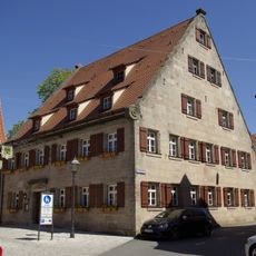
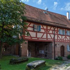
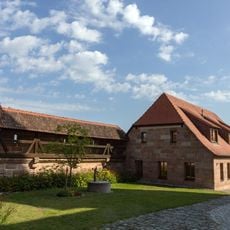
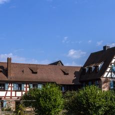
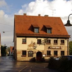
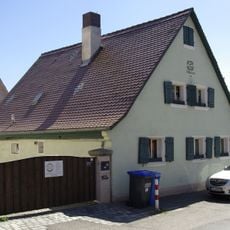
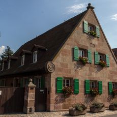
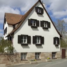
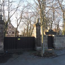
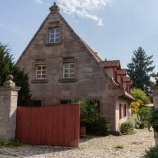
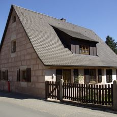
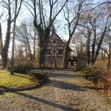
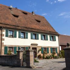
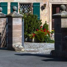
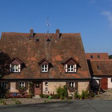
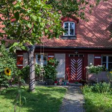
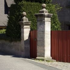
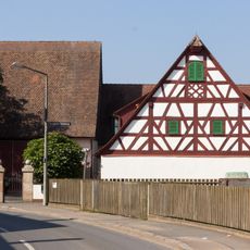
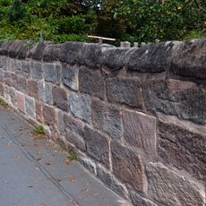
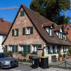
Kraftshof is a statistical district in northern Nuremberg composed of residential areas, agricultural fields, and several linked communities. The area has a quiet, rural appearance with houses scattered across dispersed streets.

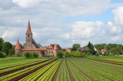
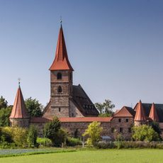
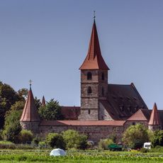
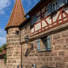
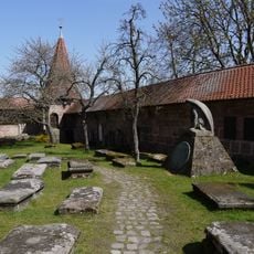
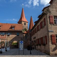
St. Georg Church is the main religious center and has served this community for many generations as a gathering place. It was built to serve the faithful in this rural area that gradually became part of greater Nuremberg.

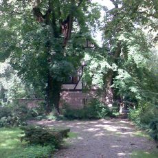
The area reflects the life of a rural community where church and family remain central to daily rhythms and gatherings. You see this in the houses that have sheltered generations of residents and in the paths people walk regularly.

The area is easily reached by car or bicycle and has wide, open roads that are simple to navigate. It is best explored on foot, as this allows you to truly see the neighborhoods and surrounding landscapes.

The area sits within the Knoblauchsland region, known for vegetable cultivation and strong agricultural traditions that persist today. Despite its proximity to the city, this farming heritage and rural way of life remain characteristic for many residents.

The community of curious travelers

AroundUs brings together thousands of curated places, local tips, and hidden gems, enriched daily by 60,000 contributors worldwide.

Start exploring
Location
Elevation above the sea
308 m
Shares border with
Boxdorf
GPS coordinates
49.51250,11.04667
Latest update
December 11, 2025 11:02
« Kraftshof - Statistical district in north Nuremberg, Germany » is provided by Around Us (aroundus.com). Images and texts are derived from Wikimedia project under a Creative Commons license. You are allowed to copy, distribute, and modify copies of this page, under the conditions set by the license, as long as this note is clearly visible.

Discover hidden gems everywhere you go!

From secret cafés to breathtaking viewpoints, skip the crowded tourist spots and find places that match your style. Our app makes it easy with voice search, smart filtering, route optimization, and insider tips from travelers worldwide. Download now for the complete mobile experience.

Around Us App Screenshot

A unique approach to discovering new places

Le Figaro

All the places worth exploring

France Info

A tailor-made excursion in just a few clicks

20 Minutes

Around Us
Travel Guide & Maps
Download

Send to your phone

QR Code
1

Open the camera app on your mobile.

2

Point at the QR code with your camera. A notification will appear.

3

Tap the notification to open the link.