
Heiligenloh, human settlement in Germany
Location: Twistringen
Elevation above the sea: 43 m
GPS coordinates: 52.77194,8.54778
Latest update: April 12, 2025 23:42
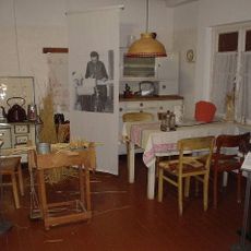
Museum der Strohverarbeitung
7 km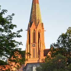
St. Anna
6.9 km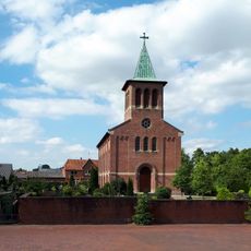
Martin-Luther-Kirche
8 km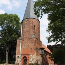
St.-Veit-Kirche
7.4 km
St. Gorgonius (Goldenstedt)
8.1 km
Martin-Luther-Kirche
7 km
Nördliches Wietingsmoor
9.8 km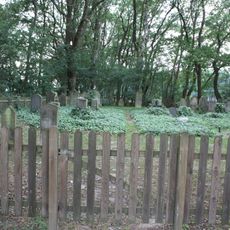
Jüdischer Friedhof Twistringen
7.9 km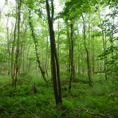
Bruchwald bei Ehrenburg
10.3 km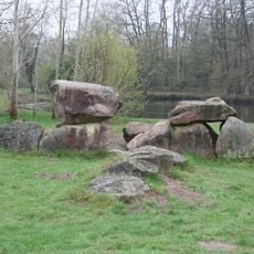
Ganggrab von Düste
6.5 km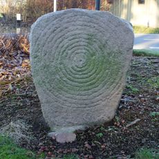
Sonnenstein von Beckstedt
7.5 km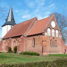
St. Nicolai (Schmalförden)
10.5 km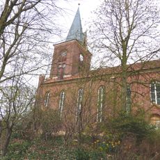
St. Marien
7.4 km
Kirche Heiligenloh
208 m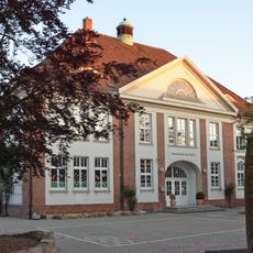
Schule Am Markt
2 km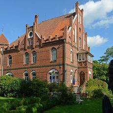
Wohnhaus Grabhorststraße 32
6.3 km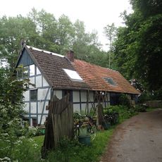
Wildeshauser Lohmühle
10.5 km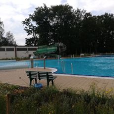
Freibad Barnstorf
7.8 km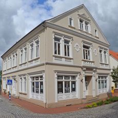
Wohn- und Geschäftshaus Bahnhofstraße 6
6.9 km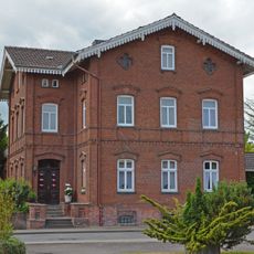
Wohnhaus Wildeshäuser Straße 1
6.5 km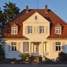
Villa Harpstedter Straße 22
7.1 km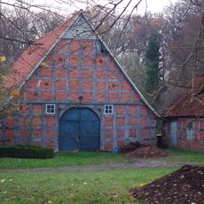
Wohn- und Wirtschaftsgebäude Lerchenhausen 4
1.9 km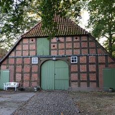
Wohn-/Wirtschaftsgebäude Heiligenloh
162 m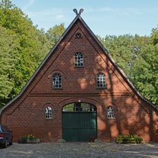
Speicher Lerchenhausen 1
2 km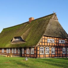
Wohn- und Wirtschaftsgebäude Borwede 1
7.1 km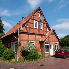
Wohnhaus Kirchstraße 3
7.4 km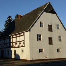
Speicher Steller Straße 21
7.2 km
Tal des Goldenstedter Mühlenbaches
9.2 kmVisited this place? Tap the stars to rate it and share your experience / photos with the community! Try now! You can cancel it anytime.
Discover hidden gems everywhere you go!
From secret cafés to breathtaking viewpoints, skip the crowded tourist spots and find places that match your style. Our app makes it easy with voice search, smart filtering, route optimization, and insider tips from travelers worldwide. Download now for the complete mobile experience.

A unique approach to discovering new places❞
— Le Figaro
All the places worth exploring❞
— France Info
A tailor-made excursion in just a few clicks❞
— 20 Minutes