Hochstein, Mountain summit in Lawalde, Germany
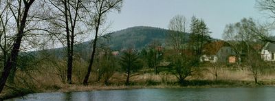
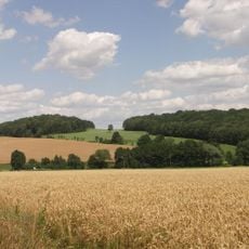
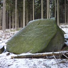
Hochstein is a mountain peak rising to 542 meters in the Upper Lusatian Highlands, distinguished by large rock formations of mica granodiorite at its summit. The landscape displays typical highland features with granite outcrops and a varied terrain.
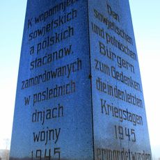
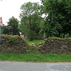
Archaeological findings from 1900 point to prehistoric fortifications with rocks reaching up to 10 meters high, suggesting possible use by Slavic settlements. Later, a war route passed through the southern slopes where Austrian troops marched during the Seven Years War in 1758.
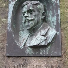
The mountain is connected to Wilhelm von Polenz, a German writer whose name marks the hiking trail on its southern slope. Visitors can experience this literary link while walking along the marked route.
The Kammweg trail marked with blue dots connects Kleindehsa and Großpostwitz and forms part of a longer route from Görlitz to Aachen. Visitors should come with proper footwear and weather protection, as the mountain path can be exposed and changeable.
The Kriegsweg marks the path where Austrian troops moved through the southern slopes in October 1758 during the Seven Years War. This historic military route remains a recognizable hiking way for visitors today.
The community of curious travelers
AroundUs brings together thousands of curated places, local tips, and hidden gems, enriched daily by 60,000 contributors worldwide.