Enable Location

We need your location to show you interesting places around you

Discover nearby places

Find interesting locations and hidden gems around you

Precise directions

Get accurate directions and distances to places

Your location is never shared with other users. It's only used when you tap the location button.

Hoher Mechtin

Log in to your account

Start exploring — it's free

Trusted by 62,839 travelers worldwide

Continue with Google
Continue with Apple
or

We will send you a code to connect

By continuing, you accept our Terms and Conditions and our Privacy Policy

Check your inbox

We've sent a pincode in your inbox. Please enter the code below.

Hoher Mechtin

Hoher Mechtin, Summit in Lower Saxony, Germany.

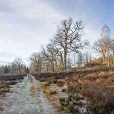
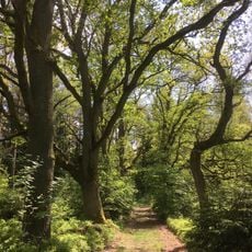
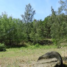
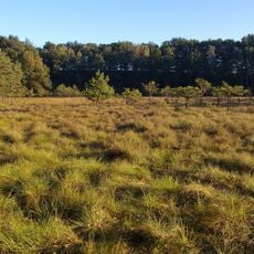
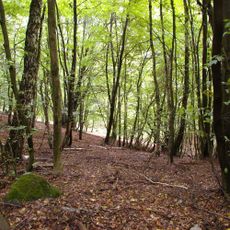
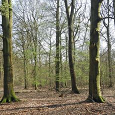
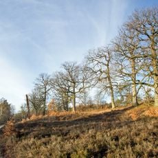
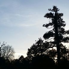
Hoher Mechtin is a summit reaching 142 meters in the Drawehn region, surrounded by pine forests and mixed deciduous woodland across its slopes. The landscape is shaped entirely by these forest types, which cover the terrain up to the peak.

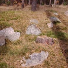
The summit formed during the Saale glaciation period, when glacial activity deposited sand, loam, gravel, and large stone blocks across the region. These geological deposits shaped the landscape visible today.

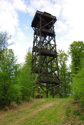
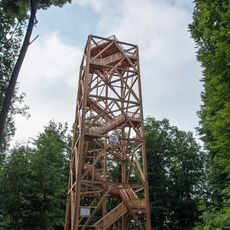
The wooden observation tower serves as a gathering place where visitors meet and record their experiences in a hiking hut book. This shared space reflects how people use the summit and create memories of their visit.

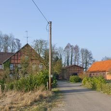
Multiple hiking trails begin from the Stranz parking area and lead through forest paths to the summit tower. The tower features 152 steps to reach the viewing platform at the top.

The summit marks the highest point in the Wendland region and displays geological formations from the East Hanoverian gravel and moraine deposits. These features make it scientifically interesting for those observing the landscape.

The community of curious travelers

AroundUs brings together thousands of curated places, local tips, and hidden gems, enriched daily by 60,000 contributors worldwide.

Start exploring
Location
Elevation above the sea
142 m
Part of
Drawehn
GPS coordinates
53.04427,10.90961
Latest update
December 12, 2025 12:06
« Hoher Mechtin - Summit in Lower Saxony, Germany » is provided by Around Us (aroundus.com). Images and texts are derived from Wikimedia project under a Creative Commons license. You are allowed to copy, distribute, and modify copies of this page, under the conditions set by the license, as long as this note is clearly visible.

Discover hidden gems everywhere you go!

From secret cafés to breathtaking viewpoints, skip the crowded tourist spots and find places that match your style. Our app makes it easy with voice search, smart filtering, route optimization, and insider tips from travelers worldwide. Download now for the complete mobile experience.

Around Us App Screenshot

A unique approach to discovering new places

Le Figaro

All the places worth exploring

France Info

A tailor-made excursion in just a few clicks

20 Minutes

Around Us
Travel Guide & Maps
Download

Send to your phone

QR Code
1

Open the camera app on your mobile.

2

Point at the QR code with your camera. A notification will appear.

3

Tap the notification to open the link.