
Martinsthal, municipal district of Eltville am Rhein, Germany
Location: Eltville am Rhein
Elevation above the sea: 153 m
GPS coordinates: 50.05250,8.12111
Latest update: April 10, 2025 07:30
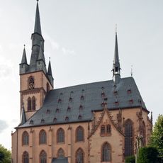
Sankt Valentinus
2.9 km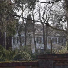
Schloss Sommerberg
2.4 km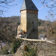
Burg Frauenstein
2.8 km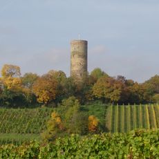
Burg Scharfenstein
2.9 km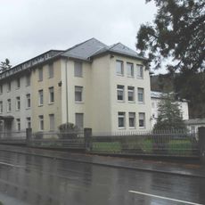
Kloster Tiefenthal
965 m
Gerechtigkeitsspirale
2.9 km
Sommerberg bei Frauenstein
2.2 km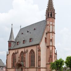
Michaelskapelle
2.9 km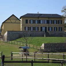
Hof Armada
2.4 km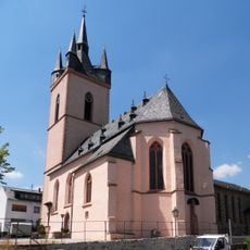
St. Antonius (Rauenthal)
1 km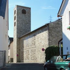
St. Martin
57 m
Burg Neuhaus (Eltville)
2.6 km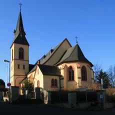
St. Martin (Oberwalluf)
1.9 km
Burg Glimendal
343 m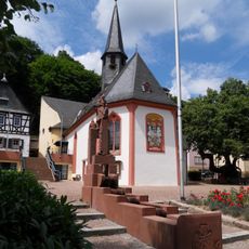
St. Georg und Katharina
2.7 km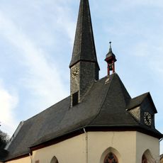
St. Sebastian und Laurentius (Martinsthal)
57 m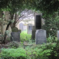
Jüdischer Friedhof Eltville
2.1 km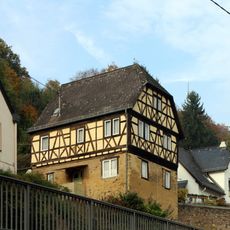
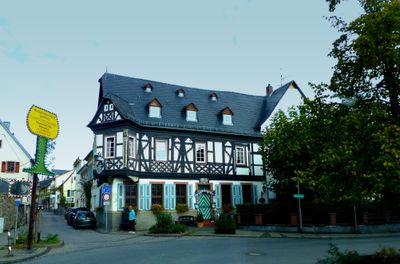
Falkerscher Hof
2.6 km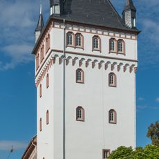
Sülzturm
2.9 km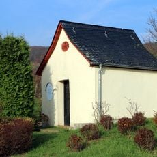
Rödchen-Kapelle
1.3 km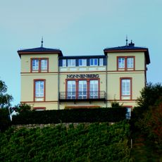
Haus Nonnenberg
242 m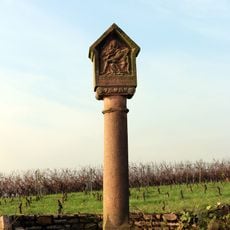
Bergbildstock
1.9 km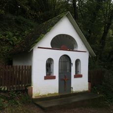
Kapelle am Neuen Weg
1.3 km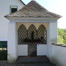
Kapelle an der Waldpforte
1.4 km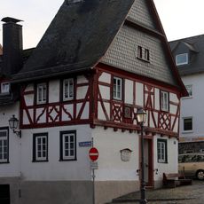
Old town hall
2 km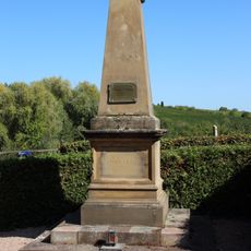
Kriegerdenkmal 1870-71
2.7 km
Ehem. Müller-Netscher-Stiftung
2.9 km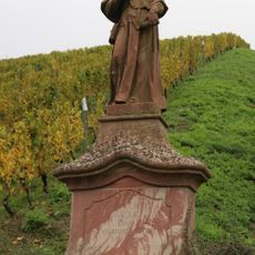
Hl. Franz Xaver
1.5 kmVisited this place? Tap the stars to rate it and share your experience / photos with the community! Try now! You can cancel it anytime.
Discover hidden gems everywhere you go!
From secret cafés to breathtaking viewpoints, skip the crowded tourist spots and find places that match your style. Our app makes it easy with voice search, smart filtering, route optimization, and insider tips from travelers worldwide. Download now for the complete mobile experience.

A unique approach to discovering new places❞
— Le Figaro
All the places worth exploring❞
— France Info
A tailor-made excursion in just a few clicks❞
— 20 Minutes