Katharinenlinde, Hill and tourist attraction in Esslingen am Neckar, Germany.
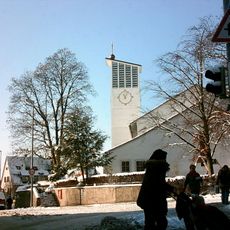
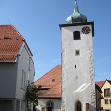
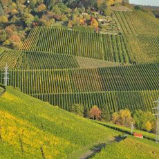
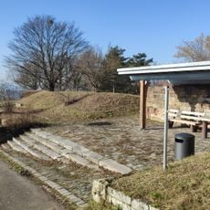
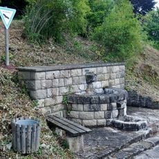
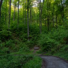
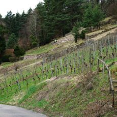
Katharinenlinde is a hilltop in Esslingen am Neckar at about 469 meters high, offering open views of the surrounding landscape and local vineyards across the Baden-Württemberg region. The summit is reached by hiking trails that connect to various viewpoints and natural areas nearby.
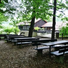
This hilltop has been a gathering place for local people for centuries, witnessing important moments in Esslingen's past. The old linden tree at the summit became a symbol of these long-standing connections to the land.
The name comes from an old linden tree that has grown here for generations, creating a connection between visitors and the land. People visit to experience nature and feel part of the region's story.
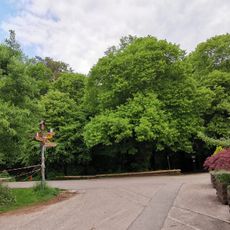
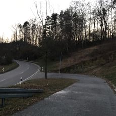
Multiple trails from Esslingen lead to the summit, with some paths accessible for wheelchair users, making it possible for most visitors to reach the viewpoints. The best time to visit is during dry weather, as the paths can become slippery when wet.
The old linden tree at the peak is visible from many points in the Neckar Valley and serves as a natural landmark for the entire area. Its distinctive shape makes it instantly recognizable from a distance.
Location: Esslingen am Neckar
Elevation above the sea: 469 m
Accessibility: Wheelchair accessible
GPS coordinates: 48.77027,9.29756
Latest update: December 8, 2025 21:03
Kernen Tower
1.7 km
Grabkapelle Rotenberg
2.4 km
Mélacturm
1.9 km
Weinbaumuseum Stuttgart
1.5 km
Weinwanderweg Obertürkheim – Uhlbach – Rotenberg – Untertürkheim
2.3 km
Katzenkopf
1.6 km
Aquädukt Obertal
1.6 km
Petruskirche
2.1 km
Andreaskirche
1.4 km
Katharinenlindenturm
104 m
Evangelische Kirche
1.2 km
Hohenkreuz-Kirche
2.5 km
Dorfkirche Rotenberg
2.4 km
Naturfreundehaus Fellbach
2.3 km
Wein-und Obstbaulandschaft Württemberg und Götzenberg
1.6 km
Andreaskirche
2.2 km
4 Winterlinden "7 Linden"
676 m
Katzenbühl
1.7 km
1 Eiche
1.8 km
Uhlbach-Aussichtpunkt-Kapf
1.4 km
Magerrasen mit Gehölz
2.2 km
Der Gast
1.5 km
Prisionero
2.2 km
Steppenheidegesellschaften in den Raubern
2.5 km
1 Stieleiche mit Umgebung auf dem Katzenkopf
1.6 km
Steudlesklinge
2.1 km
Alte Mauerreste beim sog. Bruderhaus
2 km
Steppenheidehang an der Gehrenhalde
2.2 kmVisited this place? Tap the stars to rate it and share your experience / photos with the community! Try now! You can cancel it anytime.
Discover hidden gems everywhere you go!
From secret cafés to breathtaking viewpoints, skip the crowded tourist spots and find places that match your style. Our app makes it easy with voice search, smart filtering, route optimization, and insider tips from travelers worldwide. Download now for the complete mobile experience.
A unique approach to discovering new places❞
— Le Figaro
All the places worth exploring❞
— France Info
A tailor-made excursion in just a few clicks❞
— 20 Minutes