Naila, Administrative district in Upper Franconia, Bavaria, Germany
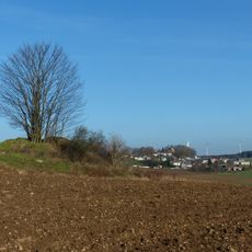
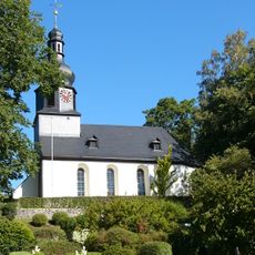
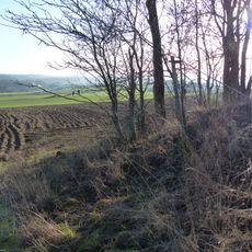
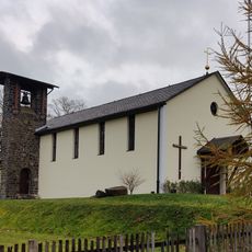
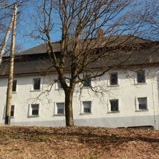
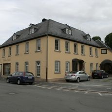
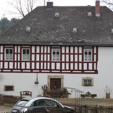
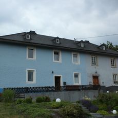
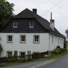
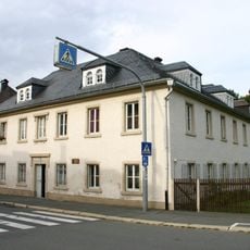
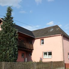
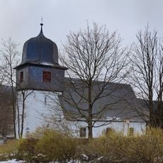
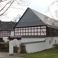
Naila was an administrative district in northern Upper Franconia that stretched across the Selfitz River valley, encompassing numerous municipalities and towns. The landscape is marked by gentle hills, forest areas, and several small settlements scattered throughout the river lowlands.
The area was established as an independent administrative district in 1862 and functioned as a political unit in Bavaria for over 100 years. The district was dissolved in 1972 and merged into the neighboring Hof district, ending a long period of regional autonomy.
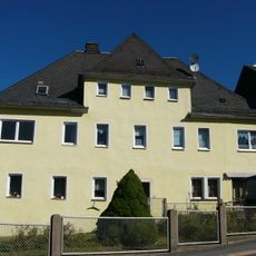
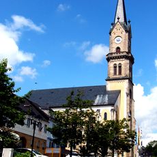
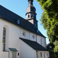
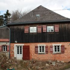
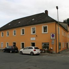
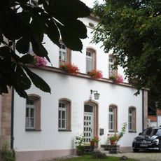
The name Naila comes from Slavic origins meaning "valley," reflecting the geography of the Selbitz plain and surrounding landscape. Visitors can still see traditional Franconian architecture and ways of life in the villages throughout the former district.
The former district is now part of Hof district and can be explored by car or public transport connecting the various towns and villages. Visitors should plan flexibly since settlements are spread across a wider area and exploring individual locations requires time.
The district sat just a few kilometers from the inner-German border and played an important role as a frontier region during German division. This geographic location shaped daily life for residents and made the area a distinctive part of German history.
The community of curious travelers
AroundUs brings together thousands of curated places, local tips, and hidden gems, enriched daily by 60,000 contributors worldwide.