Hunau, Summit in Hochsauerlandkreis, Germany
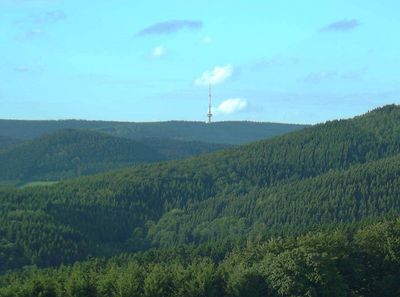
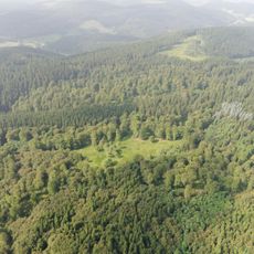
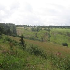
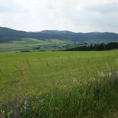
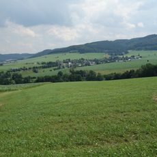
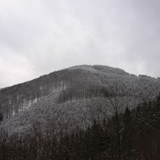
Hunau is a mountain in the Rothaar range that rises to about 820 meters in North Rhine-Westphalia and offers views across the southern Hochsauerland region. The peak stands above the surrounding terrain, allowing visitors to see the rolling landscape that stretches below.
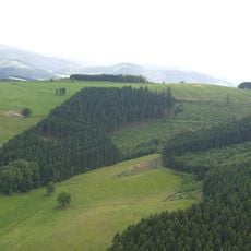
The mountain served as a natural boundary marker between different municipalities since medieval times, with its ridge determining local administrative borders. This role shaped how the surrounding regions developed and established their governance over centuries.
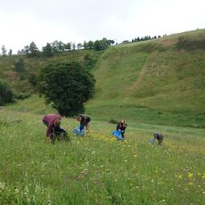
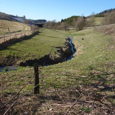
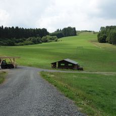
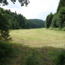
The trail across this mountain is part of a regional hiking network maintained by local outdoor clubs that connect the surrounding communities. Visitors walking these paths experience the same routes that have been used by residents for generations to explore the landscape.
Several marked trails lead to the summit from Schmallenberg and Winterberg, with parking areas available at the main trailheads. These paths are accessible year-round, though spring through fall offers the most comfortable hiking conditions.
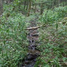
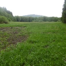
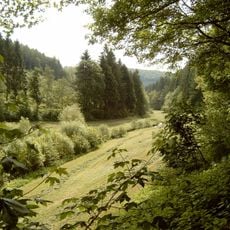
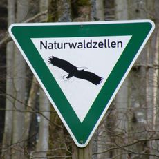
The mountain contains two ancient moors, the Rauhe Bruch and Nasse Wiese, which have existed for more than 8000 years and support rare plant species. These wetland habitats stand out from the surrounding mountain terrain and give visitors a chance to see a completely different ecosystem.
The community of curious travelers
AroundUs brings together thousands of curated places, local tips, and hidden gems, enriched daily by 60,000 contributors worldwide.