Hundsmarter, Mountain summit in Raschau-Markersbach, Germany
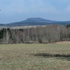
Hundsmarter is a mountain summit in the Erzgebirge range that reaches 848 meters in height. The area is characterized by dense forests with multiple marked hiking routes available to visitors.
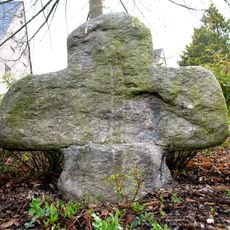
The mountain sits in a region shaped by mining activities since Medieval times. Silver mining in the surrounding area influenced local development and settlement patterns for centuries.
Local hunters maintain traditional practices in the surrounding forests, contributing to wildlife management and regional customs that span generations.
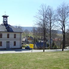
Marked paths to the summit are accessible from Raschau-Markersbach, though winter visits require extra equipment due to snow. Visitors should prepare for changing weather conditions in the mountains.
From the slopes visitors can look across multiple valleys while observing plant species typical of the Saxony region. The forest landscape contains surprisingly diverse ecosystems within a compact area.
The community of curious travelers
AroundUs brings together thousands of curated places, local tips, and hidden gems, enriched daily by 60,000 contributors worldwide.