
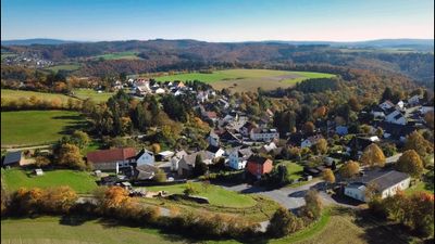
Watzelhain, municipal district of Heidenrod in Rheingau-Taunus-Kreis, Germany
Location: Heidenrod
Elevation above the sea: 435 m
GPS coordinates: 50.14020,8.00711
Latest update: March 4, 2025 20:59
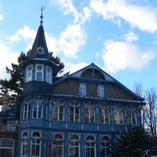
Villa Lilly
4.2 km
Bad Schwalbacher Kurbahn
3.9 km
Mappershainer Kopf
4 km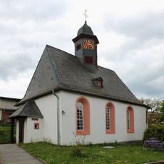
St Odilia's Church
1.8 km
Neunzehntberg
3.4 km
St. Aegidius
4.2 km
Evangelische Kirche
2.9 km
Hubertusquelle
3.8 km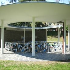
Stahlbrunnen Bad Schwalbach
4.2 km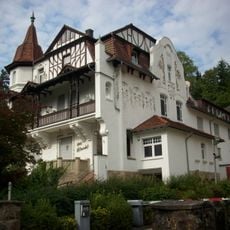
Helenenhof Bad Schwalbach
4 km
Staatliches Kurhotel Bad Schwalbach
4.3 km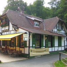
Golfhaus
4 km
Neuapostolische Kirche Bad Schwalbach
4.2 km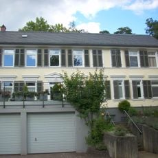
Zum Sonnenberg
4.1 km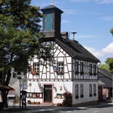
Rathaus
2.2 km
Zur schönen Aussicht
4.2 km
Haus Zur Flora
4.2 km
Kleine Villa
4 km
Zweigeschossiger Backsteinbau
4.2 km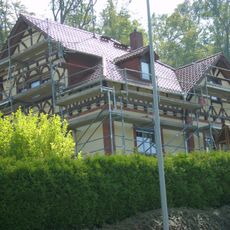
Ehemaliges Forsthaus
4.2 km
Zur Linde
4.2 km
Milchhof
4.1 km
Verputzter Fachwerkbau
4.2 km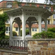
Pavillon
4 km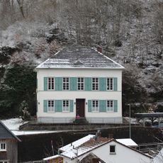
Katholisches Pfarrhaus
4.1 km
Kleinkastell Kemel 1
3.2 km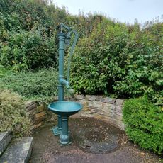
Brunnen
4.2 km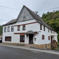
Gladbachklause
4.2 kmReviews
Visited this place? Tap the stars to rate it and share your experience / photos with the community! Try now! You can cancel it anytime.
Discover hidden gems everywhere you go!
From secret cafés to breathtaking viewpoints, skip the crowded tourist spots and find places that match your style. Our app makes it easy with voice search, smart filtering, route optimization, and insider tips from travelers worldwide. Download now for the complete mobile experience.

A unique approach to discovering new places❞
— Le Figaro
All the places worth exploring❞
— France Info
A tailor-made excursion in just a few clicks❞
— 20 Minutes