
Stetten, quarter of Haigerloch, Baden-Württemberg, Germany
Location: Haigerloch
Elevation above the sea: 520 m
GPS coordinates: 48.35810,8.81722
Latest update: April 22, 2025 14:00
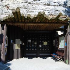
Haigerloch nuclear pile
1.4 km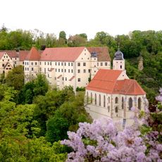
Schlosskirche Haigerloch
1.4 km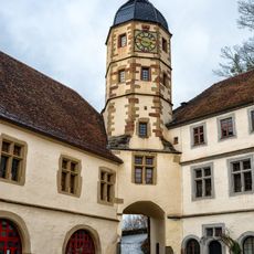
Schloss Haigerloch
1.8 km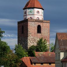
Römerturm
1.3 km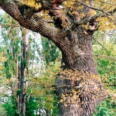
Neuhaus Oak
5.9 km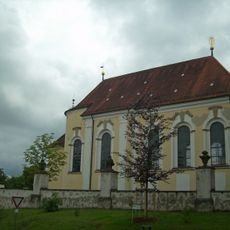
Category:St Anna Church (Haigerloch)
1.4 km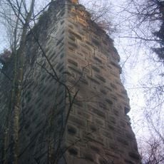
Ruine Haimburg
4 km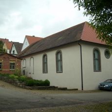
Synagogue Haigerloch
1.1 km
Jüdischer Friedhof (Haigerloch)
988 m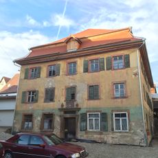
Gasthaus Rössle
3 km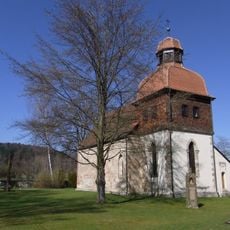
Weilerkirche
3.5 km
Breilried
2.7 km
Warrenberg
3.6 km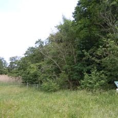
Salenhofweiher
3 km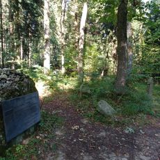
Jüdischer Friedhof
4.2 km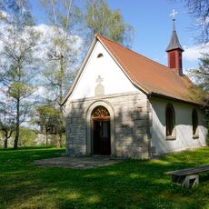
Lorettokapelle Binsdorf
5.8 km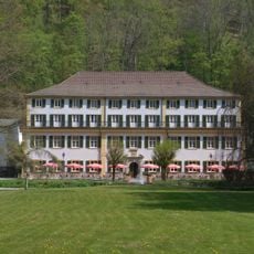
Fürstenbau (Bad Imnau)
6.2 km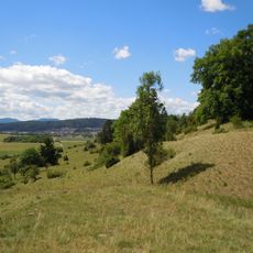
Gebiete zwischen Bisingen, Haigerloch und Rosenfeld
2.1 km
Stettener Weinberg
1.2 km
Owinger Bühl
3.3 km
Loretto und Friedhof
5.9 km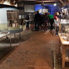
Atomkellermuseum Haigerloch
1.4 km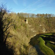
Eyachtal im Bereich des ehemaligen Landkreises Hechingen
3.5 km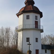
Bittelbronn Water tower
4.2 km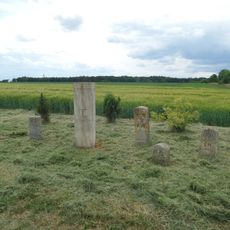
Grenzsteine bei Höfendorf (Rangendingen)
5.4 km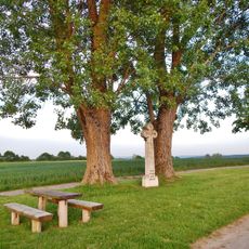
Geretsee
6.2 km
2 Linden mit Steinkreuz
1.6 km
St.-Wendelinskapelle
3.2 kmReviews
Visited this place? Tap the stars to rate it and share your experience / photos with the community! Try now! You can cancel it anytime.
Discover hidden gems everywhere you go!
From secret cafés to breathtaking viewpoints, skip the crowded tourist spots and find places that match your style. Our app makes it easy with voice search, smart filtering, route optimization, and insider tips from travelers worldwide. Download now for the complete mobile experience.

A unique approach to discovering new places❞
— Le Figaro
All the places worth exploring❞
— France Info
A tailor-made excursion in just a few clicks❞
— 20 Minutes