
Linum, village of the municipality Fehrbellin in the Ostprignitz-Ruppin district of Brandenburg, Germany
Location: Fehrbellin
Elevation above the sea: 33 m
GPS coordinates: 52.75940,12.87500
Latest update: April 10, 2025 22:17

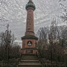
Hakenberg Victory Column
3.4 km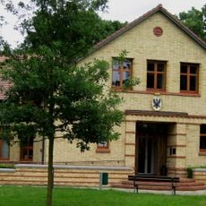
Brandenburg-Preussen Museum
9.9 km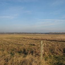
Kremmener Luch
8.5 km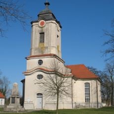
Village church Brunne
9.9 km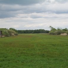
Oberes Rhinluch
2.4 km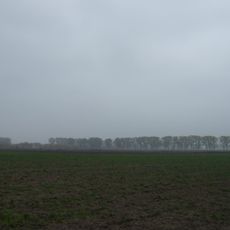
Kremmener Luch
8.5 km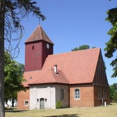
Village church Börnicke (Nauen)
9.2 km
Ship lock Altfriesack
9.9 km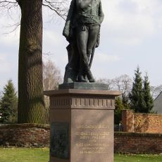
Zieten Monument
9.9 km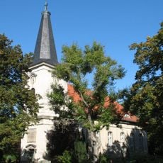
Dorfkirche Königshorst
7.8 km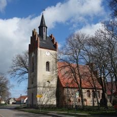
Village church Dechtow
4.5 km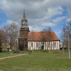
Village church Karwesee
5.9 km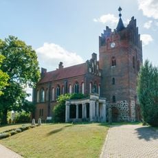
Dorfkirche Linum
552 m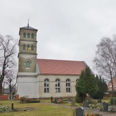
Village church Tarmow
6.3 km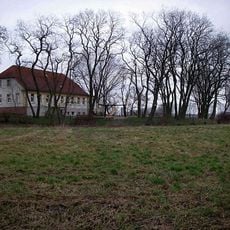
Burgwall von Linum
637 m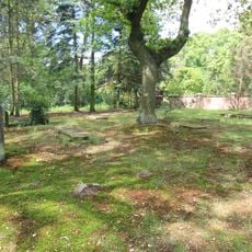
Jewish cemetery in Kremmen
8.9 km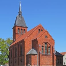
Dorfkirche Betzin
7.7 km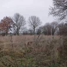
Burgwall Tietzow
5.6 km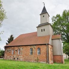
Village church Staffelde (Kremmen)
8.6 km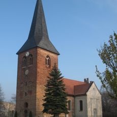
Dorfkirche Flatow
6.3 km
Brandenburg-Prussia Museum Wustrau
9.9 km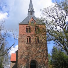
Dorfkirche Hakenberg
3.6 km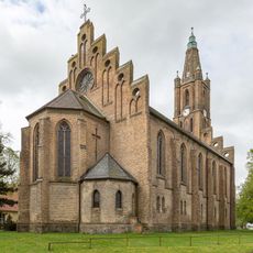
Pfarrkirche Fehrbellin
9.9 km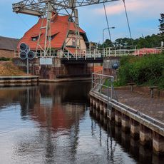
Schleuse Altfriesack
9.8 km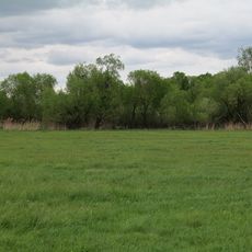
Oberes Rhinluch
5.1 km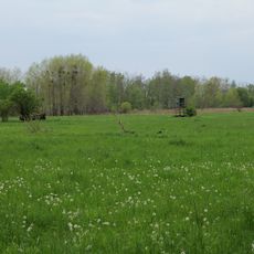
Kremmener Luch
9.3 km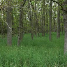
Mossberge
2.7 km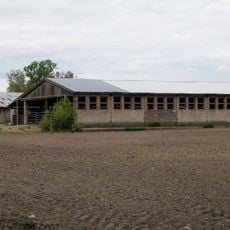
Fledermausquartier Stallgebäude in Linum
1.3 kmVisited this place? Tap the stars to rate it and share your experience / photos with the community! Try now! You can cancel it anytime.
Discover hidden gems everywhere you go!
From secret cafés to breathtaking viewpoints, skip the crowded tourist spots and find places that match your style. Our app makes it easy with voice search, smart filtering, route optimization, and insider tips from travelers worldwide. Download now for the complete mobile experience.

A unique approach to discovering new places❞
— Le Figaro
All the places worth exploring❞
— France Info
A tailor-made excursion in just a few clicks❞
— 20 Minutes