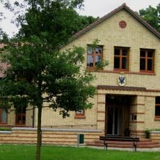
Fehrbellin, municipality in Brandenburg state, Germany
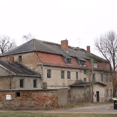
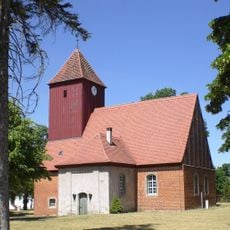
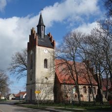
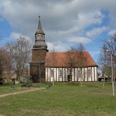
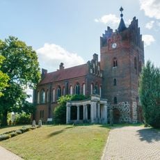
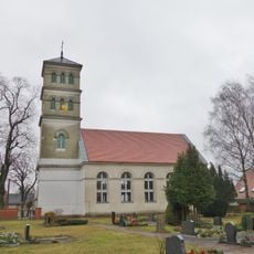
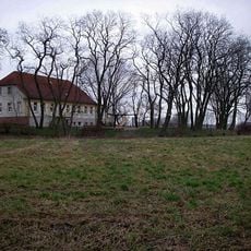
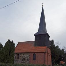
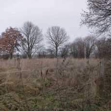
Fehrbellin is a municipality in Brandenburg composed of 17 villages and settlements spread across fields, forests, and lakes. Two rivers, the Rhin and the Havelluch, flow through the landscape and create a wet, green environment with small historic villages scattered throughout.
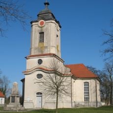
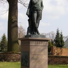
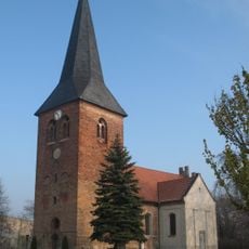
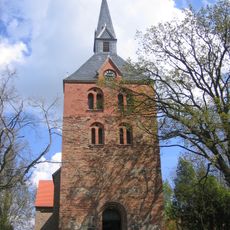
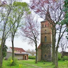
The municipality gained importance from the 1675 Battle of Fehrbellin, where Elector Friedrich Wilhelm defeated the Swedes and demonstrated Brandenburg's military power. This victory became a founding moment for Prussia and established the region as historically significant.
The settlement carries the name of a major 1675 battle that shaped its identity and remains central to how locals view their community. This historical significance is visible in the monuments, village names, and the way residents speak about their heritage.
The municipality is accessible by car or train from Berlin and offers simple lodging and dining options scattered across the villages. For water activities on the Rhin River or bird watching near Linum, visitors should plan ahead and bring appropriate gear.
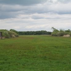
The area around Linum serves as a stopover for tens of thousands of migrating birds such as cranes and geese during autumn. This natural spectacle attracts bird watchers from across the region and makes the location special during this season.
The community of curious travelers
AroundUs brings together thousands of curated places, local tips, and hidden gems, enriched daily by 60,000 contributors worldwide.