Kahlenberg, Mountain summit in Sankt Ingbert, Germany
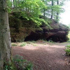
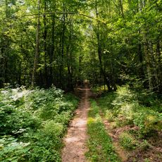
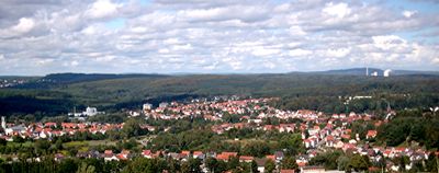
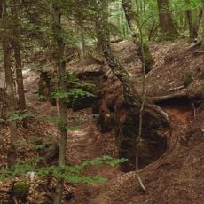
Kahlenberg is a mountain summit near Sankt Ingbert that reaches approximately 372 meters high. The area features walking trails that wind through the forest and around its slopes, creating paths for visitors of different abilities.
The mountain was once called Sauberg or Schweinsberg, names that referred to the wild pigs that lived in its dense forests centuries ago. These old names fell away as the region changed over time with new settlement patterns and land use.
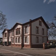
The summit is a popular gathering place for hikers seeking views and a break during their walks. The hiking lodge that has operated here for decades shapes how locals and visitors experience the mountain as a social destination.
The mountain is accessible via several marked hiking trails, with some routes suitable for mountain biking as well. Visitors should wear sturdy footwear and plan their hikes during daylight hours to ensure safe passage and good views.
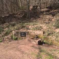
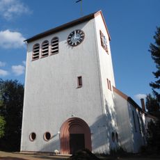
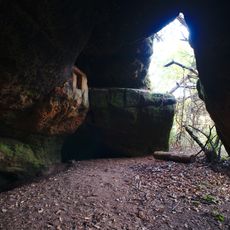
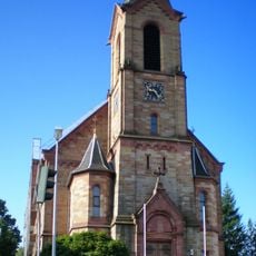
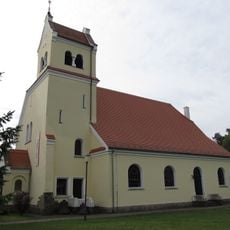
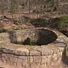
Sandstone quarries near the mountain once provided stone for building a Catholic church in a neighboring district, showing how the area's geology shaped local construction. This old industrial connection remains a lesser-known link between the natural landscape and the region's architectural heritage.
The community of curious travelers
AroundUs brings together thousands of curated places, local tips, and hidden gems, enriched daily by 60,000 contributors worldwide.


![Landschaftsschutzgebiet im [ehem.] Landkreis St. Ingbert](https://img3.digsty.com/qlh6mkJRww3dQGwAp9hBWbRuCylKYj6Q1AGtbPfMyMg/rs:fill:230:230:1/g:fp:0.5:0.5/czM6Ly9hcm91bmR1cy8xNC83MTgxMTc2LWE1YzYzYjc2LmpwZw.jpg)