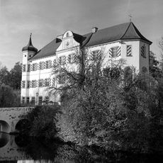
Hohenwart Abbey, Benedictine monastery in Hohenwart, Germany.
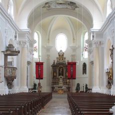
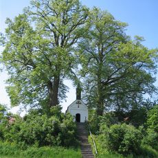
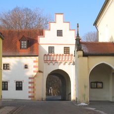
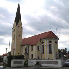
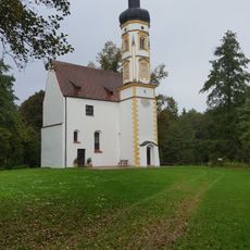
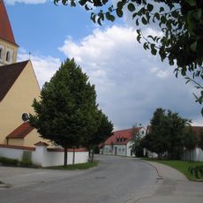
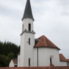
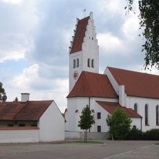
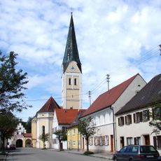
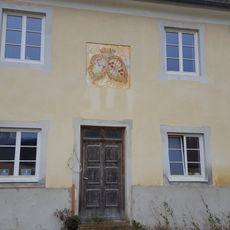
Hohenwart Abbey is a Benedictine convent in Bavaria comprising multiple structures such as St. Peter's Chapel, a Romanesque-Gothic cloister, and the Bl. Richildis Chapel. The buildings come from different periods and display various architectural styles alongside each other.
The convent was founded in 1074 by Count Ortolf and his sister Wiltrudis, the last members of the Rapotonen family, as a Benedictine community settled from a monastery in Andechs. The property later experienced major changes in its use and administration.
The monastery became a home for people with disabilities in 1878 when Dr. Johann Wagner purchased the buildings for the Franciscan Sisters of Dillingen. This transformation shaped the identity of the place and shows how religious spaces can take on new purposes.
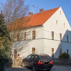
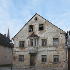
The monastery grounds at Richildisstraße 13 feature several preserved structures from different periods. Visitors should plan sufficient time to explore the various architectural styles displayed throughout the complex.
The abbey pharmacy contains a stucco figure from 1739 depicting Christ as an apothecary, a rare artistic representation in religious architecture. This unusual combination shows the specialized role the community played in caring for the sick.
The community of curious travelers
AroundUs brings together thousands of curated places, local tips, and hidden gems, enriched daily by 60,000 contributors worldwide.