Lower Rhine Heights, Glacial ridge formation in North Rhine-Westphalia, Germany.
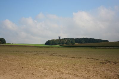
Lower Rhine Heights is a system of glacial push moraine ridges in North Rhine-Westphalia, curving in an arc from Krefeld to Nijmegen across the flat lowland plain. The ridges run between the Rhine and Niers valleys, rising to about 106 meters (350 feet) above the surrounding terrain.
The ridges formed during the Saale glaciation, when glaciers advancing from the northeast pushed up material and left behind a series of moraine ridges. The terrain that exists today is a direct result of how those glaciers moved and stopped across the lowland.
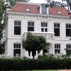
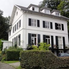
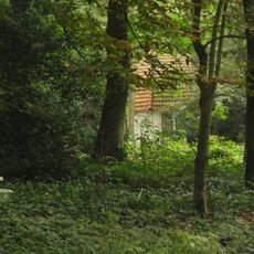
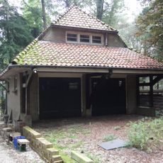
Along the slopes, old orchards and small vineyards are still visible today, planted by farming communities that used the elevated ground for growing fruit and grapes. The villages scattered across the ridges have kept much of their rural character, with farmsteads and field paths that give walkers a sense of how the land has been worked over generations.
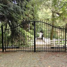
Marked hiking trails cross the area and give access to the ridges and the land around them in most weather conditions. The slopes are gentle enough for a casual walk, but the network is wide enough to put together a longer day out if you want to explore further.
Between Nijmegen and Kleve, particularly around Groesbeek and Kranenburg, the glaciers left behind a W-shaped pattern of ridges and hollows. Walkers who pay attention to the ground underfoot can still read this pattern in the way the land rises and dips in sequence.
The community of curious travelers
AroundUs brings together thousands of curated places, local tips, and hidden gems, enriched daily by 60,000 contributors worldwide.