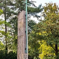
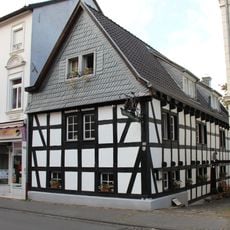
Kuckstein, Mountain summit in Beuel, Germany
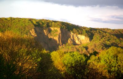
Kuckstein is a mountain summit in the Beuel area reaching about 190 meters in elevation and forming part of the Pleiser Hügelland range. The surrounding landscape features distinctive rock faces created by past quarrying activities that shape the terrain.
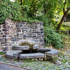
The area saw intensive stone extraction from the 19th century until 1930, which directly altered the landscape's shape. A major archaeological discovery occurred in 1914 when excavations uncovered a prehistoric double burial that provided insights into very early human settlement.
The site carries deep roots in local quarrying traditions that shaped the landscape over generations. Today the steep rock faces serve as reminders of this industrial heritage and connect the place to regional identity.
The area is accessible by multiple hiking trails that wind through the hilly landscape and offer varying levels of difficulty. Routes can be flexibly arranged to suit visitors who prefer longer treks or shorter outings.
The rock fields below the summit create specialized habitats for rare bird species and various reptiles that seek shelter in these areas. These ecologically valuable zones make the location a key refuge for endangered plants and animals.
The community of curious travelers
AroundUs brings together thousands of curated places, local tips, and hidden gems, enriched daily by 60,000 contributors worldwide.