Königsbrücker Heide, Nature reserve in Saxony, Germany.
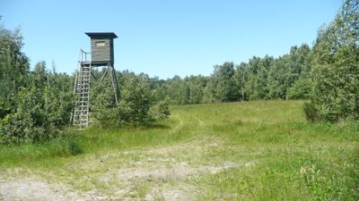
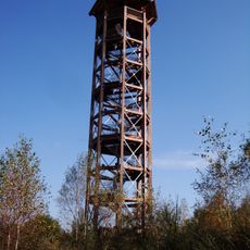
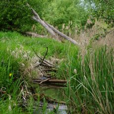
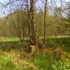
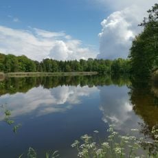
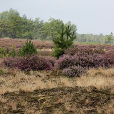
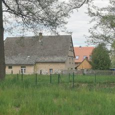
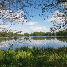
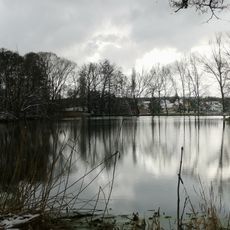
Königsbrücker Heide is a protected area in Saxony covering around 5,600 hectares with varied landscapes and habitats. The reserve includes open heathland, pine forests, wetlands, and water bodies that together support a wide range of plant and animal life.
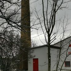
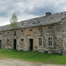
From the early 1900s until the Berlin Wall fell, this area served as a military training ground and at times hosted Soviet nuclear weapons. After the Cold War ended, the land was gradually released and transformed into a protected nature reserve.
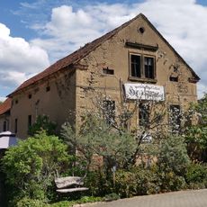
The name Königsbrücker Heide refers to the town of Königsbrück and the heath landscape that defines this region. Today visitors experience a place where nature dominates and people come to witness how wild spaces can exist close to populated areas.
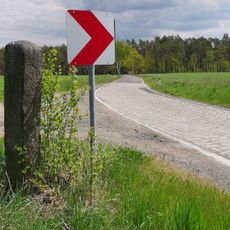
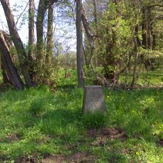
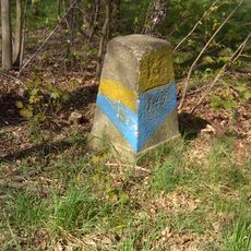
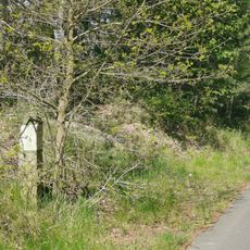
Visitors must stay on marked trails because unexploded munitions remain from the military past. It is important to follow signage and heed safety instructions at the site to avoid any risks.
The area has become a refuge for wolves and other rare animals such as beavers and otters that had disappeared from the region. After decades of military use, the land transformed into a sanctuary for species that struggle to survive in heavily managed landscapes.
Location: Königsbrück
Location: Schwepnitz
Location: Neukirch
Location: Thiendorf
Inception: 1996
GPS coordinates: 51.33750,13.87222
Latest update: December 9, 2025 18:45
Haselbergturm
5.4 km
Stieleiche am Dorfanger in Lüttichau
4.1 km
Kgl.-sächs. Postmeilenstein Schmorkau
5.3 km
Schwarzwasser bei Lipsa
4.7 km
Sächsisch-Preußischer Grenzstein: Pilarpaar Nr. 146
4.2 km
Neitschmühle Zeisholz
4.1 km
Schule An der Schule 1
4.3 km
Teiche nordwestlich Kamenz
5.9 km
Evangelische Pfarrkirche und Kirchhof Hauptstraße
5.6 km
Königsbrücker Heide
1.2 km
Wegestein
5.1 km
Esse Dresdner Straße (am Teich)
5.3 km
Schloss Schmorkau
5.5 km
Am Graben 3
4.1 km
Heidestraße 5
4.2 km
Grenzstein Oberweg 16 (bei)
5.8 km
Sächsisch-Preußischer Grenzstein: Pilarpaar Nr. 144
5.3 km
Sächsisch-Preußischer Grenzstein: Pilarpaar Nr. 145
4.8 km
Gartenhaus Dresdner Straße 10 (bei)
5.9 km
Teichgruppen Cosel-Zeisholz
4.7 km
Wegestein
5.8 km
Dorfstraße 27
6 km
Sowjetisches Ehrenmal
6 km
Wohnmühlenhaus Dresdner Straße 3
5.3 km
Soviet Memorial in Schmorkau
5.2 km
Granitobelisk für französische Gefallene (Einzeldenkmal zu ID-Nr. 09301586) (südwestlich von Schmorkau an der Hoyerswerdaer Straße)
5.8 km
Denkmal für die Gefallenen des Ersten Weltkrieges, in parkähnlicher Anlage Dresdner Straße 17 (bei)
5.9 km
Mühlteich Schmorkau
5.3 kmVisited this place? Tap the stars to rate it and share your experience / photos with the community! Try now! You can cancel it anytime.
Discover hidden gems everywhere you go!
From secret cafés to breathtaking viewpoints, skip the crowded tourist spots and find places that match your style. Our app makes it easy with voice search, smart filtering, route optimization, and insider tips from travelers worldwide. Download now for the complete mobile experience.
A unique approach to discovering new places❞
— Le Figaro
All the places worth exploring❞
— France Info
A tailor-made excursion in just a few clicks❞
— 20 Minutes