
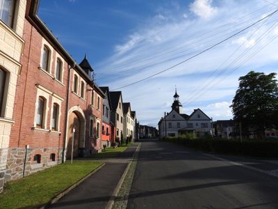
Liebengrün, human settlement in Germany
Location: Remptendorf
Elevation above the sea: 537 m
GPS coordinates: 50.56250,11.64580
Latest update: March 5, 2025 06:33
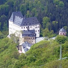
Burgk Castle
5 km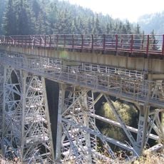
Ziemestalbrücke
2.7 km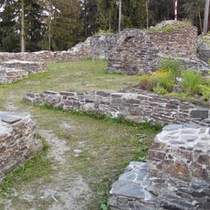
Wysburg
3 km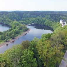
Talsperre Burgkhammer
5.3 km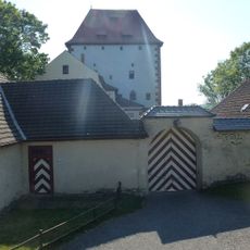
Kemenate Ziegenrück
5.6 km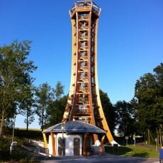
Saale-Tower
5.4 km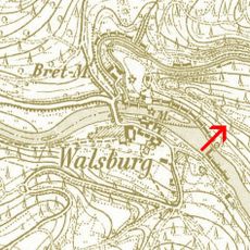
Burg Walsburg
3.2 km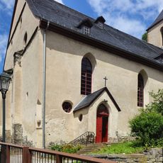
St. Bartholomäus und St. Nikolaus
5.9 km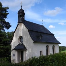
Nikolaus-Kapelle
3.9 km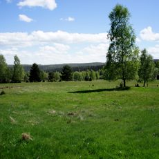
Mittelgrund
6 km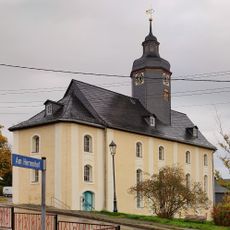
St. Simon and Judas
3.8 km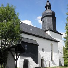
Protestant Church
4.5 km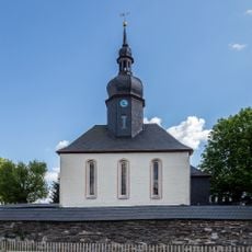
St. Johannis (Drognitz)
5.9 km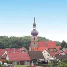
Church Behrungen
5.9 km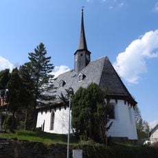
St. Maria (Grochwitz)
5.9 km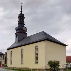
Church Eßbach
4.2 km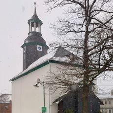
Protestant Church (Liebengrün)
28 m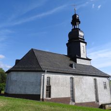
Protestant Church Liebschütz
1.2 km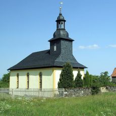
St. Moritz (Neuenbeuthen)
4.4 km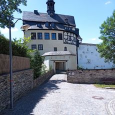
Schloss Burgk
5.1 km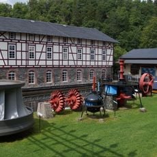
Wasserkraftmuseum Ziegenrück
4.8 km
Landschaftsschutzgebiet Obere Saale
3.7 km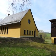
St. Michael
4 km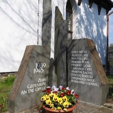
War memorial Grochwitz
6 km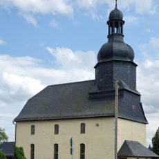
Protestant Church Weisbach
3.5 km
Mittelgrund
5.9 km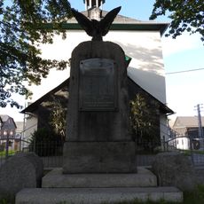
War memorial Liebengrün
26 m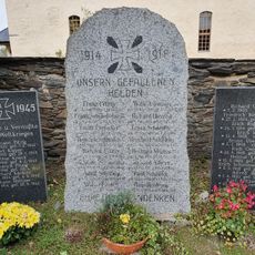
War memorial Weisbach (Remptendorf)
3.5 kmVisited this place? Tap the stars to rate it and share your experience / photos with the community! Try now! You can cancel it anytime.
Discover hidden gems everywhere you go!
From secret cafés to breathtaking viewpoints, skip the crowded tourist spots and find places that match your style. Our app makes it easy with voice search, smart filtering, route optimization, and insider tips from travelers worldwide. Download now for the complete mobile experience.

A unique approach to discovering new places❞
— Le Figaro
All the places worth exploring❞
— France Info
A tailor-made excursion in just a few clicks❞
— 20 Minutes