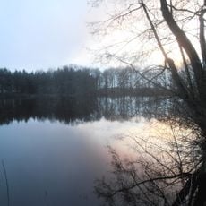
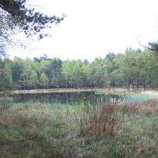
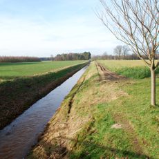
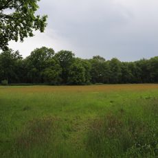
Lingen Heights, Rolling hills in Emsland, Germany.
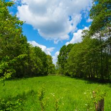
Lingen Heights is a rolling landscape with gentle elevations spread across roughly 14 kilometers between Lingen and Freren. The terrain features multiple wooded peaks and slopes crisscrossed by paths and roads, creating a varied topography in the North German Plain.
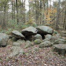
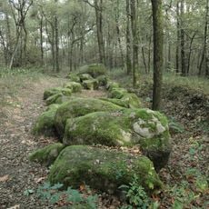
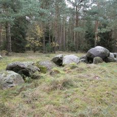
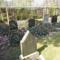
The terrain of Lingen Heights formed during the Saale glaciation period, creating distinctive end moraines that shaped the landscape. Burial mounds scattered across the region testify to early human habitation dating back thousands of years.
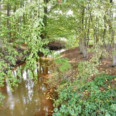
The forested slopes connect nearby villages through a network of walking and cycling paths that locals and visitors use regularly. These routes form a natural link between communities, making the area a social gathering place for outdoor activities.
The area is crossed by several federal and regional roads that provide access to different parts of the terrain. Visitors can explore on foot or by bicycle using paths and routes that run through and around the hills.
The Windmühlenberg stands as the highest point in this formation at approximately 91 meters, commanding views over the surrounding terrain. Its name comes from a historic windmill that once operated on this elevated location, taking advantage of the constant breezes.
The community of curious travelers
AroundUs brings together thousands of curated places, local tips, and hidden gems, enriched daily by 60,000 contributors worldwide.