
Marienhagen, human settlement in Germany
Location: Vöhl
Elevation above the sea: 398 m
GPS coordinates: 51.21150,8.91123
Latest update: May 8, 2025 14:11
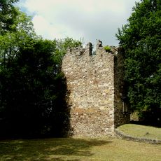
Itterburg
1.5 km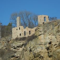
Klosterruine Ober-Werbe
5.3 km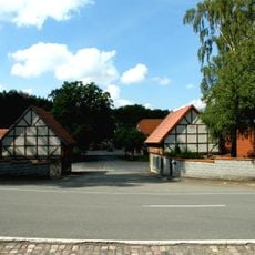
Hof Lauterbach
2.5 km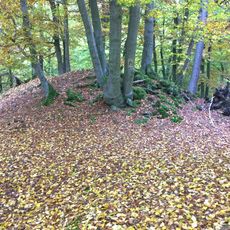
Ehrenburg
2 km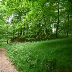
Hünselburg
5.3 km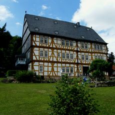
Großes Haus (Thalitter)
1.3 km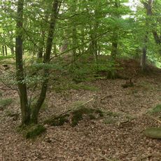
Mückenburg
5.2 km
Höckelsburg
2.6 km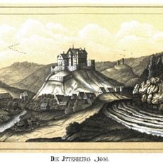
Steuerburg
1.8 km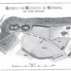
Obere Burg (Obernburg)
2.3 km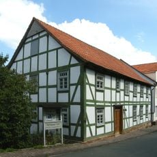
Former synagogue Vöhl
2.5 km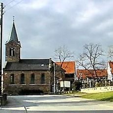
Kirche Basdorf
4.7 km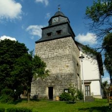
Martinskirche
2.4 km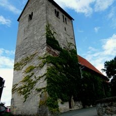
St. Vitus
4.1 km
Evangelische Kirche Dorfitter
3.1 km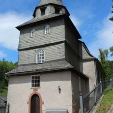
Bergkirche Thalitter
1.5 km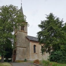
Village church Kirchlotheim
4.9 km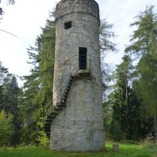
Dalwigker Warte
4.4 km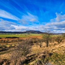
Marbeckhänge
5.3 km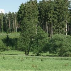
Hagenfeld
3.1 km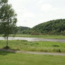
Naturschutzgebiet Ederseeufer bei Herzhausen
3.6 km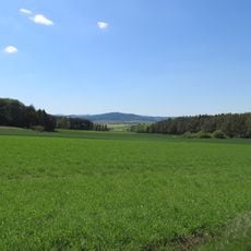
Dalwigker Holz und Gebranntes Holz bei Korbach
2.6 km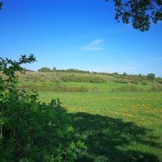
Magerrasen bei Korbach und Dorfitter
4.8 km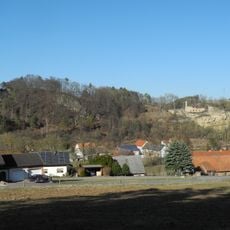
Naturschutzgebiet Langenstein bei Oberwerbe
4.9 km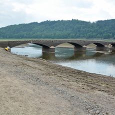
Aseler Brücke
4.1 km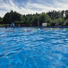
Waldschwimmbad Marienhagen
287 m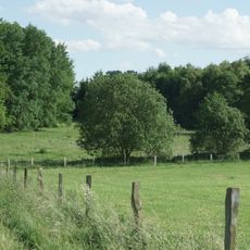
Hagenfeld
3.1 km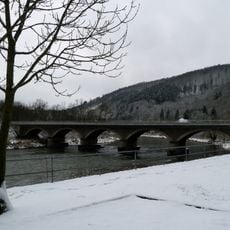
Ederbrücke
3.7 kmReviews
Visited this place? Tap the stars to rate it and share your experience / photos with the community! Try now! You can cancel it anytime.
Discover hidden gems everywhere you go!
From secret cafés to breathtaking viewpoints, skip the crowded tourist spots and find places that match your style. Our app makes it easy with voice search, smart filtering, route optimization, and insider tips from travelers worldwide. Download now for the complete mobile experience.

A unique approach to discovering new places❞
— Le Figaro
All the places worth exploring❞
— France Info
A tailor-made excursion in just a few clicks❞
— 20 Minutes