
Mathiasberg, mountain in Germany
Location: Brandenburg
Elevation above the sea: 50 m
GPS coordinates: 52.66815,13.15293
Latest update: April 25, 2025 07:14
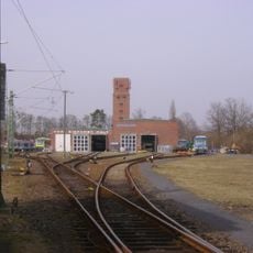
Triebwagenhalle Velten
2.5 km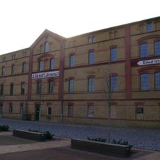
Kiln and Ceramics Museum in Velten
2.7 km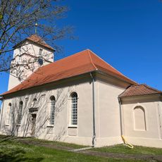
Village church Marwitz
1.2 km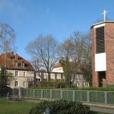
Catholic church Hennigsdorf
4.2 km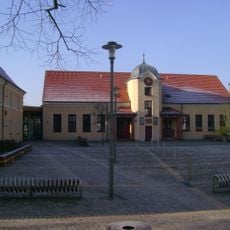
Barbara-Zürner-Oberschule Velten
2.9 km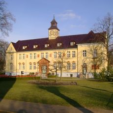
Rathaus Velten
2.9 km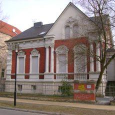
Schulstraße 3
2.9 km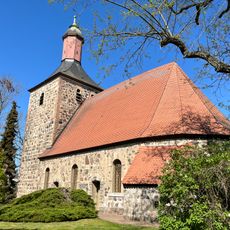
Village church Bötzow
2.2 km
Rote Villa
3.4 km
Breite Straße 42
2.7 km
Blockstelle Jägerberg
3.3 km
Parish church Velten
3.1 km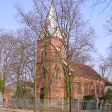
St.Josephs church Velten
3 km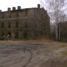
Ofenfabrik Netzband
2.2 km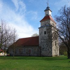
Village church Eichstädt
4.3 km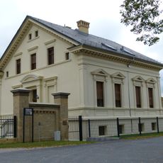
Kremmener Straße 25
2.8 km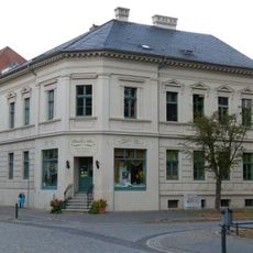
Am Anger 10
3 km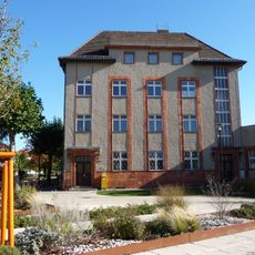
Postamt
2.4 km
Breite Straße 73
3 km
Katholisches Pfarrhaus
3 km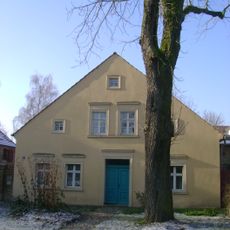
Breite Straße 30
3 km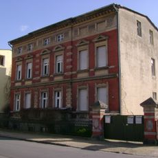
Verbindungsweg 9
2.8 km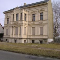
Breite Straße 94
3.4 km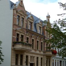
Mittelstraße 13
3 km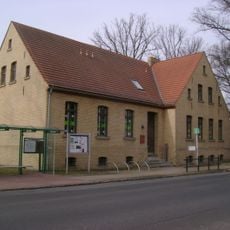
Breite Straße 16
3.2 km
Evangelisches Pfarrhaus
3.1 km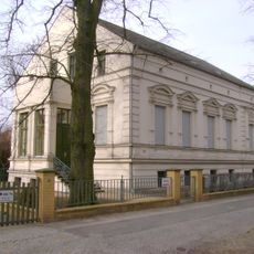
Breite Straße 31
3 km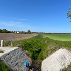
Siebgraben
3.1 kmReviews
Visited this place? Tap the stars to rate it and share your experience / photos with the community! Try now! You can cancel it anytime.
Discover hidden gems everywhere you go!
From secret cafés to breathtaking viewpoints, skip the crowded tourist spots and find places that match your style. Our app makes it easy with voice search, smart filtering, route optimization, and insider tips from travelers worldwide. Download now for the complete mobile experience.

A unique approach to discovering new places❞
— Le Figaro
All the places worth exploring❞
— France Info
A tailor-made excursion in just a few clicks❞
— 20 Minutes