
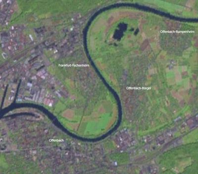
Offenbach-Bürgel, human settlement in Germany
Location: Offenbach am Main
Elevation above the sea: 99 m
GPS coordinates: 50.11780,8.78333
Latest update: March 6, 2025 15:57

St. Pankratius
246 m
Gustav-Adolf-Kirche
262 m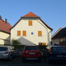
Niedergasse 30-32
150 m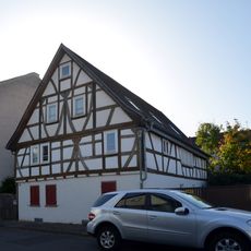
Haus Strackgasse 24
200 m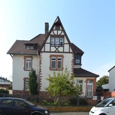
Von-Behring-Straße 95
299 m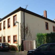
Bürgerstraße 15
109 m
Rumpenheimer Straße 27
293 m
Rumpenheimer Straße 46
411 m
Stiftstraße 5
229 m
Niedergasse 1
30 m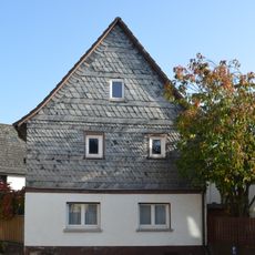
Niedergasse 16
94 m
Lehrstraße 6
204 m
Rumpenheimer Straße 25
279 m
Jahnstraße 17
170 m
Gerhard-Becker-Straße 15
333 m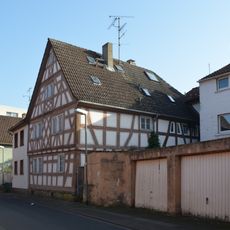
Schifferstraße 6
71 m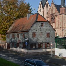
Sternstraße 21
252 m
Stiftstraße 25
232 m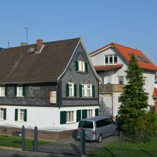
Am Maingarten 21
212 m
Von-Behring-Straße 122
458 m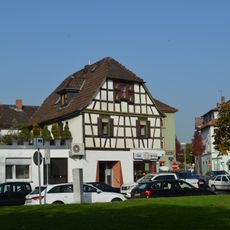
Bürgerplatz 10
41 m
Ehem. Schule
181 m
Turnhalle
258 m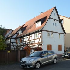
Haus Strackgasse 12
129 m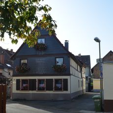
Haus Niedergasse 21
127 m
Stiftstraße 1
273 m
Haus Langstraße 3Rumpenheimer Straße 19
194 m
Haus Rumpenheimer Straße 26
254 mVisited this place? Tap the stars to rate it and share your experience / photos with the community! Try now! You can cancel it anytime.
Discover hidden gems everywhere you go!
From secret cafés to breathtaking viewpoints, skip the crowded tourist spots and find places that match your style. Our app makes it easy with voice search, smart filtering, route optimization, and insider tips from travelers worldwide. Download now for the complete mobile experience.

A unique approach to discovering new places❞
— Le Figaro
All the places worth exploring❞
— France Info
A tailor-made excursion in just a few clicks❞
— 20 Minutes