
Ragösen, human settlement in Germany
Location: Bad Belzig
Elevation above the sea: 43 m
GPS coordinates: 52.24060,12.57940
Latest update: August 22, 2025 18:16
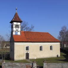
Dorfkirche
6.5 km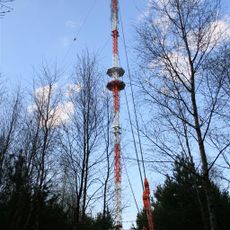
Sender Belzig-Weitzgrund
5.3 km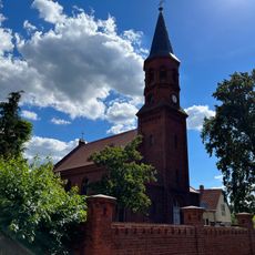
Damelang church
7.7 km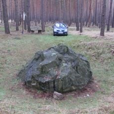
Blauer Stein
8.4 km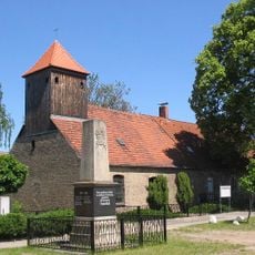
Kirchen- und Schulhaus Freienthal
9.6 km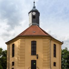
Village church Golzow, Mittelmark
4.4 km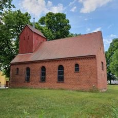
Village church Pernitz
5.5 km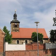
Schwanebeck church
7.9 km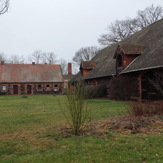
Hammerdamm
3.8 km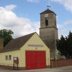
Dorfkirche Cammer
6.1 km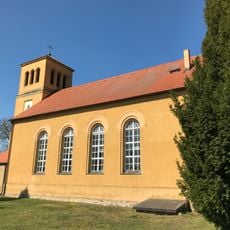
Lütte church
5 km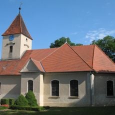
Dorfkirche Krahne
9.1 km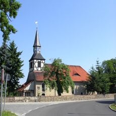
Ragoesen church
79 m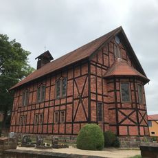
Church of Dippmannsdorf
2.6 km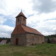
Dorfkirche Werbig
10 km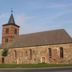
Dorfkirche Gräben
10.4 km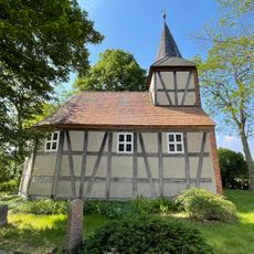
Dorfkirche Klein Briesen
4.6 km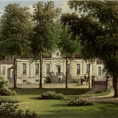
Fredersdorf Manor
7.1 km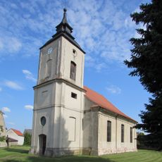
Protestant Church (Wollin)
8.7 km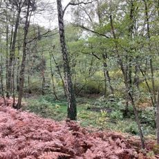
Naturpark Rundwanderweg 13
8.7 km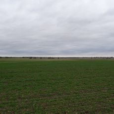
Belziger Landschaftswiesen
7.7 km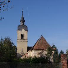
Protestant Church (Grüningen)
10.7 km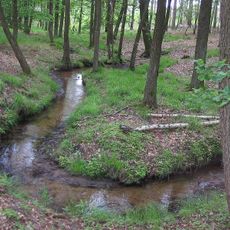
Bullenberger Bach/Klein Briesener Bach
3.4 km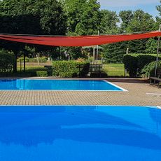
Freibad Fredersdorf
7 km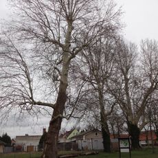
Platanen am Sportplatz
4.3 km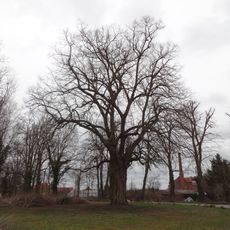
Schloss-Linde
4.2 km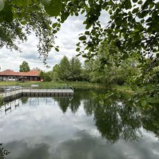
Naturbad Dippmannsdorf
2.7 km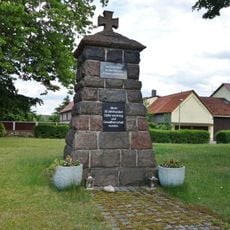
War memorial Pernitz
5.5 kmReviews
Visited this place? Tap the stars to rate it and share your experience / photos with the community! Try now! You can cancel it anytime.
Discover hidden gems everywhere you go!
From secret cafés to breathtaking viewpoints, skip the crowded tourist spots and find places that match your style. Our app makes it easy with voice search, smart filtering, route optimization, and insider tips from travelers worldwide. Download now for the complete mobile experience.

A unique approach to discovering new places❞
— Le Figaro
All the places worth exploring❞
— France Info
A tailor-made excursion in just a few clicks❞
— 20 Minutes