
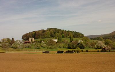
Rangenbergle, mountain in Germany
Location: Baden-Württemberg
Elevation above the sea: 589 m
GPS coordinates: 48.50092,9.26525
Latest update: April 21, 2025 08:25
Achalm Castle
1.7 km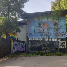
Kulturschock Zelle
3.6 km
Wendelstein
1.3 km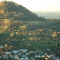
Albvorland bei Mössingen und Reutlingen
3.3 km
Wagenhals
1.3 km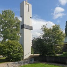
Magdalenenkirche
3.6 km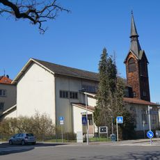
Leonhardskirche
3.6 km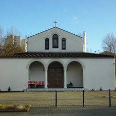
Kirche der Entschlafung der Gottesmutter und des Hl. Johannes des Vorläufers
2.8 km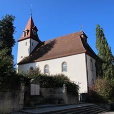
Evangelische Kirche Glems
3.3 km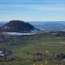
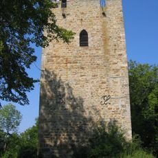
Achalm
1.8 km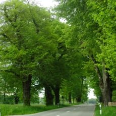
Lindenallee mit Eschen u. Ahorne (50 Bäume) (diverse Bäume gefällt)
3.1 km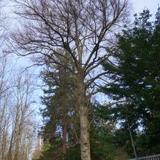
1 Blutbuche
3.2 km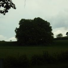
Weißbuchengruppe (7 Bäume)
2.8 km
Andreaskirche
1.6 km
1 Blutbuche
3.5 km
1 Roßkastanie
3.2 km
1 Platane
3.4 km
1 Birnbaum
3.1 km
Linde bei der Quelle Bürzlen
2.2 km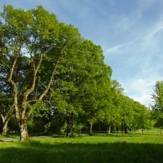
Lindenallee
2.9 km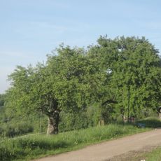
Baumreihe mit Birnbäumen (12 Stück)
2.5 km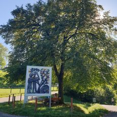
Linde
2.1 km
1 Rotbuche
3.1 km
1 Schillerlinde
3.2 km
2 Lebensbäume
3.2 km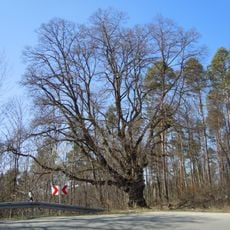
Gutenberg-Linde
860 m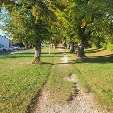
Lindenallee u. Baumgruppe
2.6 km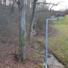
Ufergehölz Braikinbach
3 kmReviews
Visited this place? Tap the stars to rate it and share your experience / photos with the community! Try now! You can cancel it anytime.
Discover hidden gems everywhere you go!
From secret cafés to breathtaking viewpoints, skip the crowded tourist spots and find places that match your style. Our app makes it easy with voice search, smart filtering, route optimization, and insider tips from travelers worldwide. Download now for the complete mobile experience.

A unique approach to discovering new places❞
— Le Figaro
All the places worth exploring❞
— France Info
A tailor-made excursion in just a few clicks❞
— 20 Minutes