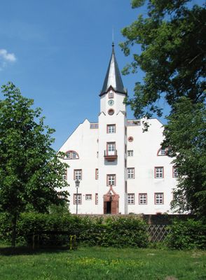
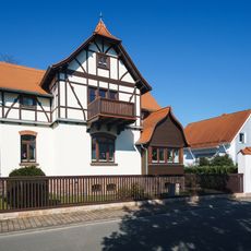
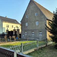
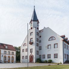
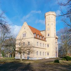
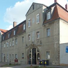
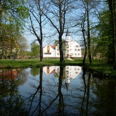
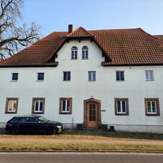
Castle Belgershain, Cultural heritage château in Belgershain, Germany.
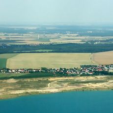
Castle Belgershain is a stone structure in the Saxon region of Germany with architectural features typical of German castles in this area. The building stands on elevated terrain and offers views across the surrounding countryside from its position.
The castle first appeared in written records in 1860 when it was included in the Album der Rittergüter und Schlösser im Königreiche Sachsen. This documentation marked its official recognition and registration in the regional records of that era.
The castle reflects how Saxon nobility built and decorated their homes, with architectural choices visible when you walk through the grounds. The design shows the craftsmanship and artistic ideas that were common during its period of construction.
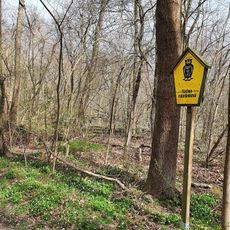
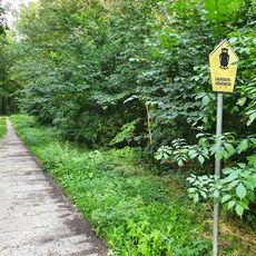
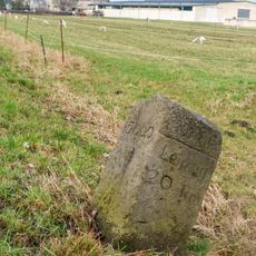
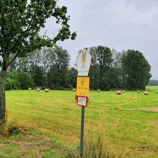
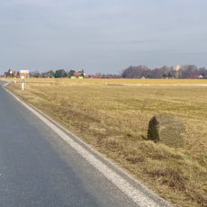
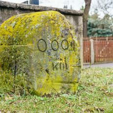
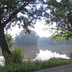
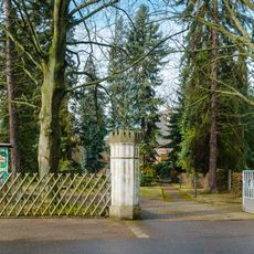
The site is accessible by hiking trails that connect multiple historical locations in the surrounding area. These paths allow visitors to explore the region at their own pace while discovering other heritage sites nearby.
The castle sits at a location that helps hikers navigate the landscape and shows how noble estates were spread across the region. Its elevated position was a deliberate choice to demonstrate control and oversight of the surrounding lands.
The community of curious travelers
AroundUs brings together thousands of curated places, local tips, and hidden gems, enriched daily by 60,000 contributors worldwide.